Cof Cymru: National Historic Assets of Wales · Wales
Cleifiog Fawr
Valley, Isle of Anglesey, Wales
A Grade II listed building in Valley, Isle of Anglesey, designated on 19 January 1998.
The record
- Designation
- Listed building, Grade II
- Broad class
- Domestic
- Date of designation
- 19 January 1998
- Locality
- Valley
- Community
- Valley
- Unitary authority
- Isle of Anglesey
- Country
- Wales
- Coordinates
- 53.29064, -4.55810
- Cadw reference
- 19234
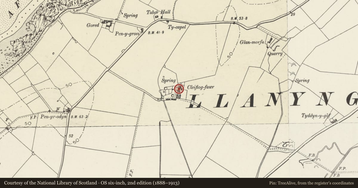
Slide toward Today to fade the historical sheet and see the modern map underneath.
David Rumsey Map Collection, Stanford LibrariesDavid Rumsey Map Collection, Stanford LibrariesDavid Rumsey Map Collection, Stanford LibrariesDavid Rumsey Map Collection, Stanford LibrariesDavid Rumsey Map Collection, Stanford Libraries
5 historical maps cover this location, the earliest the 1799 map "Ireland." (David Rumsey Map Collection, Stanford Libraries).
Historical maps covering this location
- 1799 · Ireland. (David Rumsey Map Collection, Stanford Libraries)
- 1883 · Watershed map England, Wales 3. (David Rumsey Map Collection, Stanford Libraries)
- 1899 · 93 Holyhead (Hills) (David Rumsey Map Collection, Stanford Libraries)
- 1901 · Sheet 9 and 10. (David Rumsey Map Collection, Stanford Libraries)
- 1919 · Sheet 41. Anglesey. (David Rumsey Map Collection, Stanford Libraries)
Cadw's description
Location
Set back from the SE side of Gorad Road, c750m NE of Valley.
History
Probably built early C19, following the purchase of property in the area by the Baron Hill estate in 1813. Earliest records of the farmstead under this name date from 1730-40.
Exterior
A 2-storey 3-window farmhouse with one-and-a-half-storey, 2-window service wing at left (N) end and an added lofted cartshed/granary at right (S). Walls are of rubble masonry, front face rendered, rear with widely slobbered mortar. Roof of small slates, with stone coping and rendered gable stacks, extended with brick and rendered capping. Windows are slightly recessed sashes; main part with hornless sash windows with glazing bars to upper storey windows, 4-pane sash to ground floor; doorway offset to left (N) with mid-storey window to its right. Rear sash windows with margin panes. Service wing with doorway to right (S), large 6-pane sash to left and small-paned fixed light set under the eaves between.
Reason for designation
Included as an example of an early C19 vernacular farmhouse, retaining much character and many original features.
Nearby in the register
- Newlands Fish WeirFish Weirunder 1 mi
- Telford Milestone (4)Transportunder 1 mi
- Valley Railway Station Main BuildingTransportunder 1 mi
- Valley Station Signal BoxTransportunder 1 mi
Other entries of the same register within about three miles of this one, by straight line.