Cof Cymru: National Historic Assets of Wales · Wales
Kenfig Hill War Memorial
Pyle, Bridgend, Wales
A Grade II listed building in Kenfig Hill, Cynffig, Pyle, Bridgend, designated on 2 January 1998.
The record
- Designation
- Listed building, Grade II
- Broad class
- Commemorative
- Date of designation
- 2 January 1998
- Locality
- Kenfig Hill
- Town
- Cynffig
- Community
- Pyle
- Unitary authority
- Bridgend
- Country
- Wales
- Coordinates
- 51.53323, -3.67800
- Cadw reference
- 19176
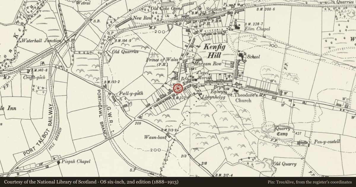
Slide toward Today to fade the historical sheet and see the modern map underneath.
David Rumsey Map Collection, Stanford LibrariesDavid Rumsey Map Collection, Stanford LibrariesDavid Rumsey Map Collection, Stanford LibrariesDavid Rumsey Map Collection, Stanford LibrariesNational Library of Scotland
5 historical maps cover this location, the earliest the 1636 map "Cornubia : Devonia, Somersetus, Dorcestria, Wiltonia, Glocestria ..." (David Rumsey Map Collection, Stanford Libraries).
Historical maps covering this location
- 1636 · Cornubia : Devonia, Somersetus, Dorcestria, Wiltonia, Glocestria ... (David Rumsey Map Collection, Stanford Libraries)
- 1637 · The fourth table of England. Cornub. Devonia, Somerset etc. (David Rumsey Map Collection, Stanford Libraries)
- 1865 · England and Wales. England No. 6. (David Rumsey Map Collection, Stanford Libraries)
- 1907 · 248 Pontypridd (Hills) (David Rumsey Map Collection, Stanford Libraries)
- 1930 · OS Popular Edition 1919-1947 (National Library of Scotland)
Cadw's description
Location
The memorial stands as a traffic island at the junction of Princes Road and Commercial Road, known as 'top cross', at the centre of Kenfig Hill.
History
Erected in 1925 to commemorate the dead of two world wars.
Exterior
Constructed with pale grey fine-grained granite. A Tuscan column raised on a panelled die and base, carrying a stilted ball finial surmounted by a bronze figure of a winged victory, her hand upraised with a wreath, the other holding a baton. Bronze panels applied on each of the four sides of the die are inscribed with the names of the 36 dead of the community fallen in the Great War. A mottled granite monument in the form of an open book has been added on the W side of the base, displaying the names of a further 36 men lost in 1939-45.
Reason for designation
Included as a handsomely proportioned and finely executed monument.
Nearby in the register
- The Talbot InstituteHealth and Welfareunder 1 mi
- Pen-y-Castell CampHillfortunder 1 mi
- Bryndu Coke OvensCoke Ovenunder 1 mi
- Accommodation Bridge over the former Duffryn Llynvi and Porthcawl RailwayTransportunder 1 mi
Other entries of the same register within about three miles of this one, by straight line.