Cof Cymru: National Historic Assets of Wales · Wales
Midland Bank
Rhosddu, Wrexham, Wales
A Grade II listed building in Rhosddu, Wrexham, designated on 31 January 1994.
The record
- Designation
- Listed building, Grade II
- Broad class
- Commercial
- Date of designation
- 31 January 1994
- Community
- Rhosddu
- Unitary authority
- Wrexham
- Country
- Wales
- Coordinates
- 53.04533, -2.99186
- Cadw reference
- 1842
Slide toward Today to fade the historical sheet and see the modern map underneath.
David Rumsey Map Collection, Stanford LibrariesDavid Rumsey Map Collection, Stanford LibrariesDavid Rumsey Map Collection, Stanford LibrariesDavid Rumsey Map Collection, Stanford LibrariesDavid Rumsey Map Collection, Stanford Libraries
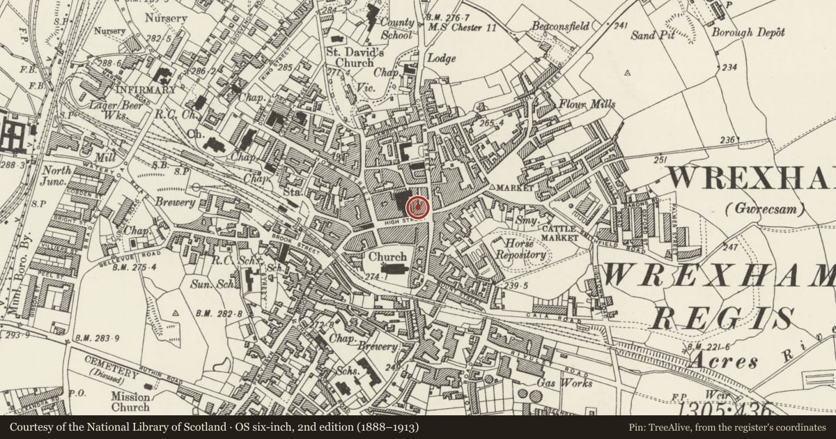
5 historical maps cover this location, the earliest the 1608 map "(13) Cambriae Typus." (David Rumsey Map Collection, Stanford Libraries).
Historical maps covering this location
- 1608 · (13) Cambriae Typus. (David Rumsey Map Collection, Stanford Libraries)
- 1883 · Watershed map England, Wales 3. (David Rumsey Map Collection, Stanford Libraries)
- 1898 · 121 Wrexham (Hills) (David Rumsey Map Collection, Stanford Libraries)
- 1898 · 121 Wrexham (Outline) (David Rumsey Map Collection, Stanford Libraries)
- 1901 · Sheet 9 and 10. (David Rumsey Map Collection, Stanford Libraries)
Cadw's description
Location
Towards the eastern end of the High Street.
History
Built 1910-12, by Woolfall and Eccles, architects, for the Midland Bank.
Exterior
Ashlar faced, with polished granite columns articulating the lower storey, and with slate roof. 2 storeys, 5 window range. Baroque palazzo style. Lower storey recessed behind coupled Tuscan columns carrying entablature. Main entrance to left, and 3 windows to banking hall in centre. All are segmentally arched with stressed voussoirs and scrolled keystones. Right hand bay advanced, with doorway in stone architrave with entablature giving access to upper chambers.
Upper storey divided by rusticated pilasters, and with segmental pediments over outer bays linked by balustraded parapet. 12-pane sash windows in stressed and pedimented architraves. Enriched frieze with swags etc. Pediments surmounted by short chimney stacks.
Interior
Top-lit banking hall divided into 3 bays, the main beams of the plaster-panelled ceiling carried on square section piers. Stained glass in central glazed panel.
Nearby in the register
- The Golden Lion Public HouseCommercialunder 1 mi
- 11 High StreetCommercialunder 1 mi
- Butcher's MarketCommercialunder 1 mi
- The Old Vaults Public HouseCommercialunder 1 mi
Other entries of the same register within about three miles of this one, by straight line.