Cof Cymru: National Historic Assets of Wales · Wales
No. 2 Bodarborth
Y Felinheli, Gwynedd, Wales
A Grade II listed building in Y Felinheli, Gwynedd, designated on 16 November 1987.
The record
- Designation
- Listed building, Grade II
- Broad class
- Domestic
- Date of designation
- 16 November 1987
- Locality
- Y Felinheli
- Community
- Y Felinheli
- Unitary authority
- Gwynedd
- Country
- Wales
- Coordinates
- 53.18683, -4.20477
- Cadw reference
- 18352
Slide toward Today to fade the historical sheet and see the modern map underneath.
David Rumsey Map Collection, Stanford LibrariesDavid Rumsey Map Collection, Stanford LibrariesDavid Rumsey Map Collection, Stanford LibrariesDavid Rumsey Map Collection, Stanford LibrariesDavid Rumsey Map Collection, Stanford Libraries
5 historical maps cover this location, the earliest the 1896 map "Sheet 7. Ordnance Survey of England and Wales." (David Rumsey Map Collection, Stanford Libraries).
Historical maps covering this location
- 1896 · Sheet 7. Ordnance Survey of England and Wales. (David Rumsey Map Collection, Stanford Libraries)
- 1899 · 106 Bangor (Outline) (David Rumsey Map Collection, Stanford Libraries)
- 1899 · 106 Bangor (Hills) (David Rumsey Map Collection, Stanford Libraries)
- 1901 · Sheet 9 and 10. (David Rumsey Map Collection, Stanford Libraries)
- 1919 · Sheet 41. Anglesey. (David Rumsey Map Collection, Stanford Libraries)
Cadw's description
Location
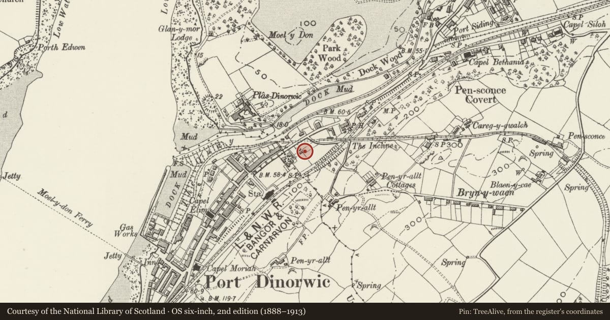
Situated on the SE side of main road, Stryd Bangor, some 200m NE of the War Memorial. Set behind contemporary low stone walls with matching timber gates.
History
Circa 1850-60 one half of a pair of Vaynol estate cottages, No 1 with addition of c1900.
Interior
Not inspected. Stairs said to have square balusters, on cut string with shaped brackets. Marble mantels. Wide-boarded doors in rear wing.
Reason for designation
One of a pair of mid C19 estate cottages, still with most of the original traceried cast-iron windows.
Nearby in the register
- BodarborthDomesticunder 1 mi
- FfinfaDomesticunder 1 mi
- Cae GwynDomesticunder 1 mi
- Former Dock Offices at Y FelinheliMaritimeunder 1 mi
Other entries of the same register within about three miles of this one, by straight line.