Cof Cymru: National Historic Assets of Wales · Wales
Fountain (north-east)
Tregynon, Powys, Wales
A Grade II listed building in Tregynon, Powys, designated on 31 January 1997.
The record
- Designation
- Listed building, Grade II
- Broad class
- Gardens, Parks and Urban Spaces
- Date of designation
- 31 January 1997
- Community
- Tregynon
- Unitary authority
- Powys
- Country
- Wales
- Coordinates
- 52.56722, -3.35197
- Cadw reference
- 18140
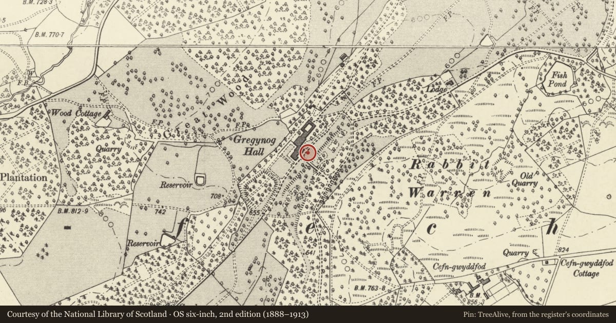
Slide toward Today to fade the historical sheet and see the modern map underneath.
David Rumsey Map Collection, Stanford LibrariesDavid Rumsey Map Collection, Stanford LibrariesLlyfrgell Genedlaethol Cymru – The National Library of WalesDavid Rumsey Map Collection, Stanford LibrariesDavid Rumsey Map Collection, Stanford Libraries
5 historical maps cover this location, the earliest the 1608 map "(13) Cambriae Typus." (David Rumsey Map Collection, Stanford Libraries).
Historical maps covering this location
- 1608 · (13) Cambriae Typus. (David Rumsey Map Collection, Stanford Libraries)
- 1637 · Particular description of Wales. Cambria seu Wallia (David Rumsey Map Collection, Stanford Libraries)
- 1795 · To Sir Watkin Williams-Wynn Bart ... the map of the six counties of North Wales is most… (Llyfrgell Genedlaethol Cymru – The National Library of Wales)
- 1883 · Watershed map England, Wales 3. (David Rumsey Map Collection, Stanford Libraries)
- 1899 · 164 Llanidloes (Hills) (David Rumsey Map Collection, Stanford Libraries)
Cadw's description
Location
Located within the gardens of Gregynog Hall, immediately in front of the house.
Reason for designation
Listed as a fine example of an ornamental fountain and for group value with other items at Gregynog and with Gregynog Hall.
Nearby in the register
- Gregynog HallEducationunder 1 mi
- Fountain (south-west)Gardens, Parks and Urban Spacesunder 1 mi
- Garden BridgeGardens, Parks and Urban Spacesunder 1 mi
- Stable and Coach HouseEducationunder 1 mi
Other entries of the same register within about three miles of this one, by straight line.