Cof Cymru: National Historic Assets of Wales · Wales
Talwrn House
Sesswick, Wrexham, Wales
A Grade II listed building in Pickhill, Sesswick, Wrexham, designated on 20 December 1996.
The record
- Designation
- Listed building, Grade II
- Broad class
- Domestic
- Date of designation
- 20 December 1996
- Locality
- Pickhill
- Community
- Sesswick
- Unitary authority
- Wrexham
- Country
- Wales
- Coordinates
- 53.02404, -2.91351
- Cadw reference
- 18063
Slide toward Today to fade the historical sheet and see the modern map underneath.
David Rumsey Map Collection, Stanford LibrariesDavid Rumsey Map Collection, Stanford LibrariesDavid Rumsey Map Collection, Stanford LibrariesDavid Rumsey Map Collection, Stanford LibrariesDavid Rumsey Map Collection, Stanford Libraries
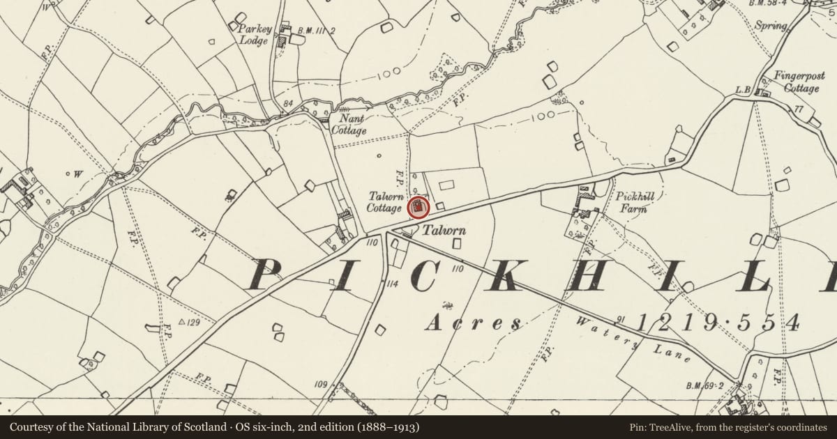
5 historical maps cover this location, the earliest the 1608 map "(13) Cambriae Typus." (David Rumsey Map Collection, Stanford Libraries).
Historical maps covering this location
- 1608 · (13) Cambriae Typus. (David Rumsey Map Collection, Stanford Libraries)
- 1861 · 73. Market Drayton. (David Rumsey Map Collection, Stanford Libraries)
- 1883 · Watershed map England, Wales 3. (David Rumsey Map Collection, Stanford Libraries)
- 1897 · 122 Nantwich (Hills) (David Rumsey Map Collection, Stanford Libraries)
- 1901 · Sheet 9 and 10. (David Rumsey Map Collection, Stanford Libraries)
Cadw's description
Location
Situated on the north side of the B5130 close to it's junction with Watery Lane.
History
Early C19 former farmhouse now divided into two self-contained houses, one of which is empty.
Exterior
Two-storeys, four bays, brick construction under grey slate roof, wide projecting eaves, three chimney stacks with original chimney pots. Front porch with curved barge boards, original doorcase, and internal shutters to side windows. Bay windows to east and west end-walls. Three ground floor, 16-pane, original sash-windows under stone lintels to front elevation are recessed into shallow relief semi-circular brick arches. To the second floor are three six-pane original sash-windows and one blind window to the east. To the rear are attached single storey out-houses to the east and west return and stable block with hayloft over and curved barge board forming a rear yard.
Interior
Internal inspection not possible at the time of survey in 1996, said to contain few original features following subdivision.
Reason for designation
Listed as a good example of a late C18/early C19 farmhouse retaining much of its original external character.
Nearby in the register
- Pickhill FarmhouseDomesticunder 1 mi
- Parkey FarmhouseDomesticunder 1 mi
- Dovecote at Pickhill Old HallDomesticunder 1 mi
- Pickhill BridgeTransportunder 1 mi
Other entries of the same register within about three miles of this one, by straight line.