Cof Cymru: National Historic Assets of Wales · Wales
St. Elidyr's Church Cross
Stackpole and Castlemartin, Pembrokeshire, Wales
A Grade II listed building in Cheriton, Stackpole and Castlemartin, Pembrokeshire, designated on 14 May 1970.
The record
- Designation
- Listed building, Grade II
- Broad class
- Religious, Ritual and Funerary
- Date of designation
- 14 May 1970
- Locality
- Cheriton
- Community
- Stackpole and Castlemartin
- Unitary authority
- Pembrokeshire
- Country
- Wales
- Coordinates
- 51.63828, -4.90996
- Cadw reference
- 18007
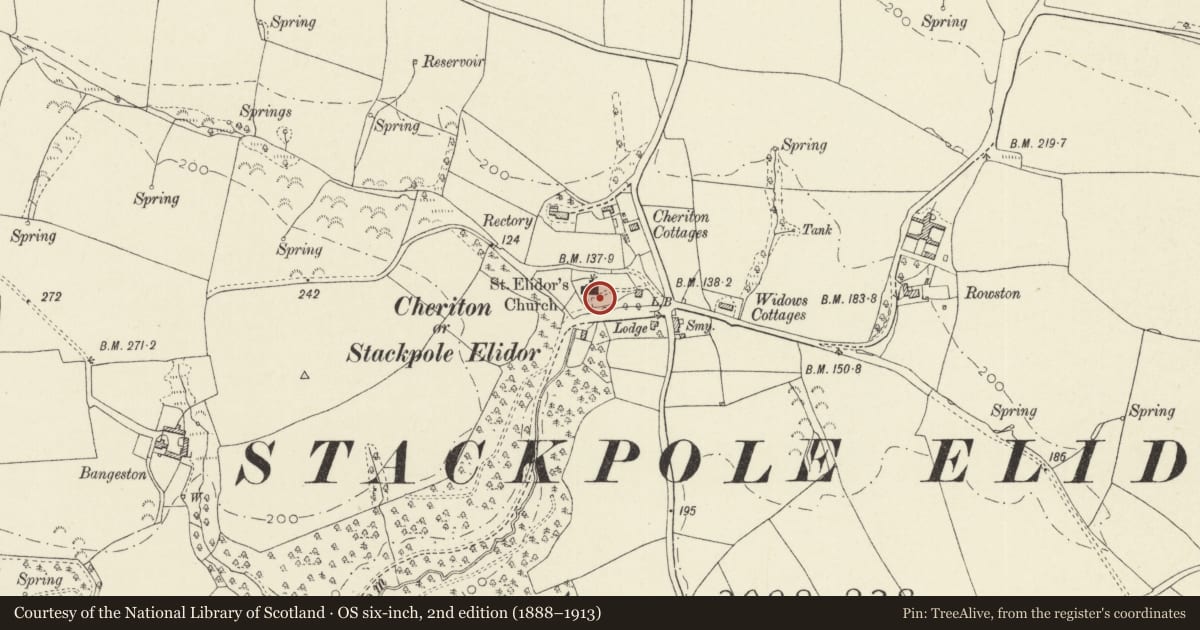
Slide toward Today to fade the historical sheet and see the modern map underneath.
David Rumsey Map Collection, Stanford LibrariesDavid Rumsey Map Collection, Stanford LibrariesDavid Rumsey Map Collection, Stanford LibrariesDavid Rumsey Map Collection, Stanford LibrariesDavid Rumsey Map Collection, Stanford Libraries
5 historical maps cover this location, the earliest the 1636 map "Cornubia : Devonia, Somersetus, Dorcestria, Wiltonia, Glocestria ..." (David Rumsey Map Collection, Stanford Libraries).
Historical maps covering this location
- 1636 · Cornubia : Devonia, Somersetus, Dorcestria, Wiltonia, Glocestria ... (David Rumsey Map Collection, Stanford Libraries)
- 1865 · England and Wales. England No. 6. (David Rumsey Map Collection, Stanford Libraries)
- 1891 · Sheet 10. Ordnance Survey of England and Wales. . (David Rumsey Map Collection, Stanford Libraries)
- 1898 · 245 Pembroke (Hills) (David Rumsey Map Collection, Stanford Libraries)
- 1901 · Sheet 13. (David Rumsey Map Collection, Stanford Libraries)
Cadw's description
Exterior
Restored church cross at S on a base of four large steps. Local limestone. Chamfered square shaft. Arms and head of cross are modern.
Listed for group value with St Elidyr's Church and St Elidyr's Lychgate.
Nearby in the register
- St Elidyr's LychgateDomesticunder 1 mi
- St. Elidyr's ChurchReligious, Ritual and Funeraryunder 1 mi
- Old Bread Oven attached to Rowston FarmhouseCommercialunder 1 mi
- Rowston FarmhouseDomesticunder 1 mi
Other entries of the same register within about three miles of this one, by straight line.