Cof Cymru: National Historic Assets of Wales · Wales
Eight-Arch Bridge
Stackpole and Castlemartin, Pembrokeshire, Wales
A Grade II* listed building in Stackpole Deer Park, Stackpole and Castlemartin, Pembrokeshire, designated on 8 February 1996.
The record
- Designation
- Listed building, Grade II*
- Broad class
- Transport
- Date of designation
- 8 February 1996
- Locality
- Stackpole Deer Park
- Community
- Stackpole and Castlemartin
- Unitary authority
- Pembrokeshire
- Country
- Wales
- Coordinates
- 51.62279, -4.92355
- Cadw reference
- 18003
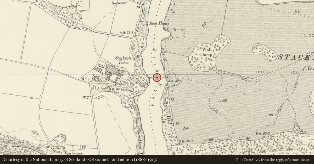
Slide toward Today to fade the historical sheet and see the modern map underneath.
David Rumsey Map Collection, Stanford LibrariesDavid Rumsey Map Collection, Stanford LibrariesDavid Rumsey Map Collection, Stanford LibrariesDavid Rumsey Map Collection, Stanford LibrariesDavid Rumsey Map Collection, Stanford Libraries
5 historical maps cover this location, the earliest the 1636 map "Cornubia : Devonia, Somersetus, Dorcestria, Wiltonia, Glocestria ..." (David Rumsey Map Collection, Stanford Libraries).
Historical maps covering this location
- 1636 · Cornubia : Devonia, Somersetus, Dorcestria, Wiltonia, Glocestria ... (David Rumsey Map Collection, Stanford Libraries)
- 1637 · The fourth table of England. Cornub. Devonia, Somerset etc. (David Rumsey Map Collection, Stanford Libraries)
- 1865 · England and Wales. England No. 6. (David Rumsey Map Collection, Stanford Libraries)
- 1891 · Sheet 10. Ordnance Survey of England and Wales. . (David Rumsey Map Collection, Stanford Libraries)
- 1898 · 245 Pembroke (Hills) (David Rumsey Map Collection, Stanford Libraries)
Cadw's description
Exterior
E of Stackpole Home Farm.
Bridge built in 1797 to connect Stackpole Court and the Home Farm with the New Deer Park and Stackpole Quay. Built over a wier between ponds. Eight segmental arches of limestone masonry, with those at the centre slightly larger. The facing rings of the arches are in ashlar, otherwise arches are common stonework. Remedial iron ties inserted in places across from face to face. One arch has slight projecting keystones on each face, otherwise there are no decorative details. Carriageway only 3.3 m wide between rebuilt low parapets. The parapets end in slight wing walls.
Listed II* as a major eyecatching feature of the Stackpole Park. Listed also for group value with the other survivals of the Stackpole Court buildings.
Reference: NT (Stackpole) Information
Nearby in the register
- Manor HouseDomesticunder 1 mi
- GasworksIndustrialunder 1 mi
- Courtyard FlatsDomesticunder 1 mi
- Dairymaid's QuartersAgriculture and Subsistenceunder 1 mi
Other entries of the same register within about three miles of this one, by straight line.