Cof Cymru: National Historic Assets of Wales · Wales
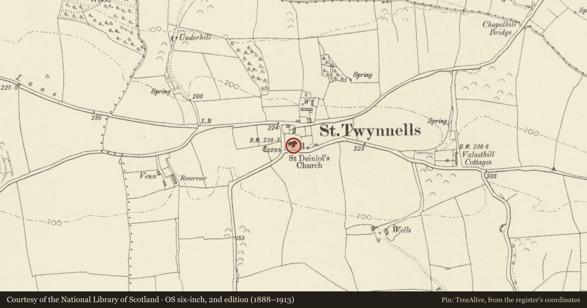
St Twynnell's Church Cross
Stackpole and Castlemartin, Pembrokeshire, Wales
A Grade II listed building in St Twynnells, Stackpole and Castlemartin, Pembrokeshire, designated on 8 February 1996.
The record
- Designation
- Listed building, Grade II
- Broad class
- Religious, Ritual and Funerary
- Date of designation
- 8 February 1996
- Locality
- St Twynnells
- Community
- Stackpole and Castlemartin
- Unitary authority
- Pembrokeshire
- Country
- Wales
- Coordinates
- 51.63957, -4.96470
- Cadw reference
- 17986
Slide toward Today to fade the historical sheet and see the modern map underneath.
David Rumsey Map Collection, Stanford LibrariesDavid Rumsey Map Collection, Stanford LibrariesDavid Rumsey Map Collection, Stanford LibrariesDavid Rumsey Map Collection, Stanford LibrariesDavid Rumsey Map Collection, Stanford Libraries
5 historical maps cover this location, the earliest the 1636 map "Cornubia : Devonia, Somersetus, Dorcestria, Wiltonia, Glocestria ..." (David Rumsey Map Collection, Stanford Libraries).
Historical maps covering this location
- 1636 · Cornubia : Devonia, Somersetus, Dorcestria, Wiltonia, Glocestria ... (David Rumsey Map Collection, Stanford Libraries)
- 1865 · England and Wales. England No. 6. (David Rumsey Map Collection, Stanford Libraries)
- 1891 · Sheet 10. Ordnance Survey of England and Wales. . (David Rumsey Map Collection, Stanford Libraries)
- 1898 · 245 Pembroke (Hills) (David Rumsey Map Collection, Stanford Libraries)
- 1901 · Sheet 13. (David Rumsey Map Collection, Stanford Libraries)
Cadw's description
Location
Near S entrance to St Twynell's church, within the churchyard.
Exterior
Modern cross on an old base of four steps.
Reason for designation
Listed for group value with St Twynnell's Church.
Nearby in the register
- St. Twynnell's ChurchReligious, Ritual and Funeraryunder 1 mi
- ParkeDomesticunder 1 mi
- Smithy at Forge CottageCommercialunder 1 mi
- Dovecote at Forge CottageDomesticunder 1 mi
Other entries of the same register within about three miles of this one, by straight line.