Cof Cymru: National Historic Assets of Wales · Wales
Stable Cottage at Neuadd Trefawr
Beulah, Ceredigion, Wales
A Grade II listed building in Neuadd Cross, Beulah, Ceredigion, designated on 15 March 1996.
The record
- Designation
- Listed building, Grade II
- Broad class
- Domestic
- Date of designation
- 15 March 1996
- Locality
- Neuadd Cross
- Community
- Beulah
- Unitary authority
- Ceredigion
- Country
- Wales
- Coordinates
- 52.08721, -4.54376
- Cadw reference
- 17970
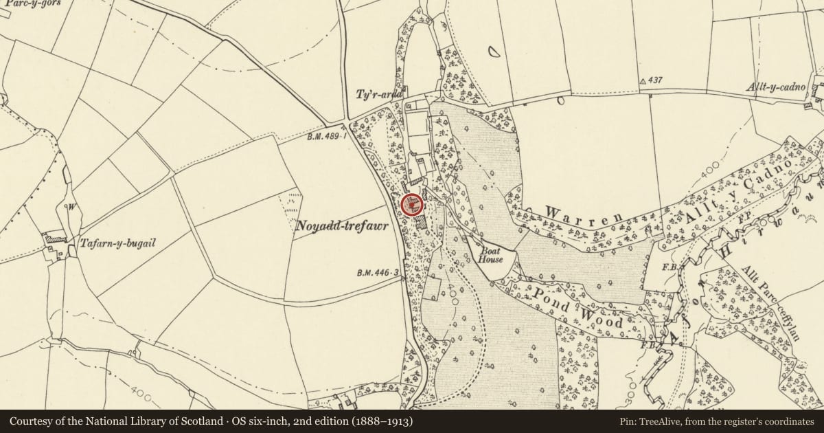
Slide toward Today to fade the historical sheet and see the modern map underneath.
David Rumsey Map Collection, Stanford LibrariesDavid Rumsey Map Collection, Stanford LibrariesDavid Rumsey Map Collection, Stanford LibrariesDavid Rumsey Map Collection, Stanford LibrariesDavid Rumsey Map Collection, Stanford Libraries
5 historical maps cover this location, the earliest the 1608 map "(13) Cambriae Typus." (David Rumsey Map Collection, Stanford Libraries).
Historical maps covering this location
- 1608 · (13) Cambriae Typus. (David Rumsey Map Collection, Stanford Libraries)
- 1830 · V.3:11-15:XV. Britisches Reich. A. Kon: England. b. Frstenthum Wales: Shire: 37-40 (David Rumsey Map Collection, Stanford Libraries)
- 1899 · 194 Llangranog (Hills) (David Rumsey Map Collection, Stanford Libraries)
- 1901 · Sheet 14. (David Rumsey Map Collection, Stanford Libraries)
- 1919 · Sheet 78. Lampeter. (David Rumsey Map Collection, Stanford Libraries)
Cadw's description
Location
Situated at upper W end of middle of three courtyards of outbuildings, linked to range on N side of same court.
History
Earlier to mid C19 former stable to Noyadd Trefawr, now residential. Not apparently marked on 1841 Tithe Map.
Exterior
Rubble stone with slate roof and C20 end stack. Plain two-storey, three-window range, three casement pairs above, the centre one set slightly higher, the outer ones C20 insertions. Two casement pairs below and centre stable door. Timber lintels.
Reason for designation
Included for group value.
Nearby in the register
- Coach-House and Bellcote Range between second and third Courts at Noyadd TrefawrAgriculture and Subsistenceunder 1 mi
- The Farmhouse, between first and second Courts, Noyadd TrefawrDomesticunder 1 mi
- Tenants Cottage, W side of S Court Noyadd TrefawrDomesticunder 1 mi
- Noyadd TrefawrDomesticunder 1 mi
Other entries of the same register within about three miles of this one, by straight line.