Cof Cymru: National Historic Assets of Wales · Wales
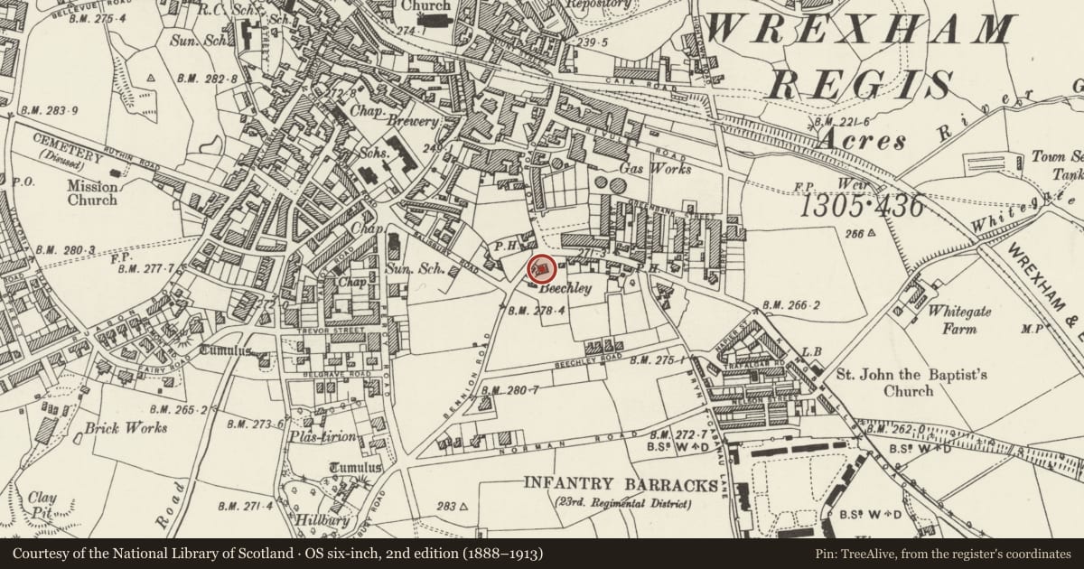
Beechley
Offa, Wrexham, Wales
A Grade II listed building in Offa, Wrexham, designated on 16 June 1980.
The record
- Designation
- Listed building, Grade II
- Broad class
- Domestic
- Date of designation
- 16 June 1980
- Community
- Offa
- Unitary authority
- Wrexham
- Country
- Wales
- Coordinates
- 53.04065, -2.99004
- Cadw reference
- 1795
Slide toward Today to fade the historical sheet and see the modern map underneath.
David Rumsey Map Collection, Stanford LibrariesDavid Rumsey Map Collection, Stanford LibrariesDavid Rumsey Map Collection, Stanford LibrariesDavid Rumsey Map Collection, Stanford LibrariesDavid Rumsey Map Collection, Stanford Libraries
5 historical maps cover this location, the earliest the 1608 map "(13) Cambriae Typus." (David Rumsey Map Collection, Stanford Libraries).
Historical maps covering this location
- 1608 · (13) Cambriae Typus. (David Rumsey Map Collection, Stanford Libraries)
- 1883 · Watershed map England, Wales 3. (David Rumsey Map Collection, Stanford Libraries)
- 1898 · 121 Wrexham (Hills) (David Rumsey Map Collection, Stanford Libraries)
- 1898 · 121 Wrexham (Outline) (David Rumsey Map Collection, Stanford Libraries)
- 1901 · Sheet 9 and 10. (David Rumsey Map Collection, Stanford Libraries)
Cadw's description
Location
On the corner with Bennion's Road, facing down Salop Road.
History
According to Palmer, the house was described as new in 1726, and the frontage range facing appears to be of about this date. Parallel rear range is a later addition of c1830.
Exterior
Render over brick with slate roof with end wall stacks. 2 storeys, 5 window range with central entrance.
Pedimented doorcase, flanked by 3 flush framed sash windows to left and 1 to right (with internal shutters). Similar windows to upper storey. Canted full-height extension against right hand gable probably added when parallel rear range was built; the interior of the building (including the staircase) was almost certainly remodelled at the same time.
Nearby in the register
- Oteley HouseDomesticunder 1 mi
- Willow Bridge, with adjacent Railings and Culvert ArchTransportunder 1 mi
- 5 Salisbury RoadDomesticunder 1 mi
- Gate Piers and Boundary Wall to No 5Domesticunder 1 mi
Other entries of the same register within about three miles of this one, by straight line.