Cof Cymru: National Historic Assets of Wales · Wales
Gatepiers, Railings and Gates at Forest Lodge entrance
Marchwiel, Wrexham, Wales
A Grade II listed building in Erddig, Marchwiel, Wrexham, designated on 3 December 1996.
The record
- Designation
- Listed building, Grade II
- Broad class
- Domestic
- Date of designation
- 3 December 1996
- Locality
- Erddig
- Community
- Marchwiel
- Unitary authority
- Wrexham
- Country
- Wales
- Coordinates
- 53.02325, -2.99576
- Cadw reference
- 17874
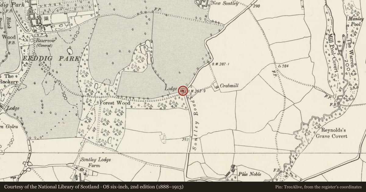
Slide toward Today to fade the historical sheet and see the modern map underneath.
David Rumsey Map Collection, Stanford LibrariesDavid Rumsey Map Collection, Stanford LibrariesDavid Rumsey Map Collection, Stanford LibrariesDavid Rumsey Map Collection, Stanford LibrariesDavid Rumsey Map Collection, Stanford Libraries
5 historical maps cover this location, the earliest the 1608 map "(13) Cambriae Typus." (David Rumsey Map Collection, Stanford Libraries).
Historical maps covering this location
- 1608 · (13) Cambriae Typus. (David Rumsey Map Collection, Stanford Libraries)
- 1883 · Watershed map England, Wales 3. (David Rumsey Map Collection, Stanford Libraries)
- 1898 · 121 Wrexham (Hills) (David Rumsey Map Collection, Stanford Libraries)
- 1898 · 121 Wrexham (Outline) (David Rumsey Map Collection, Stanford Libraries)
- 1901 · Sheet 9 and 10. (David Rumsey Map Collection, Stanford Libraries)
Cadw's description
Location
Situated at the junction of the East Drive and Sontley Road
History
Erected possibly C19 with gates of early C18 character from the former Coed-y-glyn Lodge.
Exterior
Pair of rusticated stone gatepiers with ball finials attached on each side to a range of railings set in a low plinth and a secondary pier of similar design. The railings have spearhead finials. The gates have scrollwork overthrow, vertical rails with an elaborate central scrollwork panel.
Reason for designation
Listed as an imposing entrance to the park and for associations with the Erddig Estate.
Nearby in the register
- Former Stables at New Sontley FarmDomesticunder 1 mi
- Combined Pigsties and Hen House at New Sontley FarmAgriculture and Subsistenceunder 1 mi
- New Sontley FarmhouseDomesticunder 1 mi
- DovecoteDomesticunder 1 mi
Other entries of the same register within about three miles of this one, by straight line.