Cof Cymru: National Historic Assets of Wales · Wales
Siop Fach (Second Cottage)
Henfynyw, Ceredigion, Wales
A Grade II listed building in Neuadd-Lwyd, Henfynyw, Ceredigion, designated on 21 February 1996.
The record
- Designation
- Listed building, Grade II
- Broad class
- Domestic
- Date of designation
- 21 February 1996
- Locality
- Neuadd-Lwyd
- Community
- Henfynyw
- Unitary authority
- Ceredigion
- Country
- Wales
- Coordinates
- 52.21334, -4.23463
- Cadw reference
- 17759
Slide toward Today to fade the historical sheet and see the modern map underneath.
David Rumsey Map Collection, Stanford LibrariesDavid Rumsey Map Collection, Stanford LibrariesDavid Rumsey Map Collection, Stanford LibrariesDavid Rumsey Map Collection, Stanford LibrariesDavid Rumsey Map Collection, Stanford Libraries
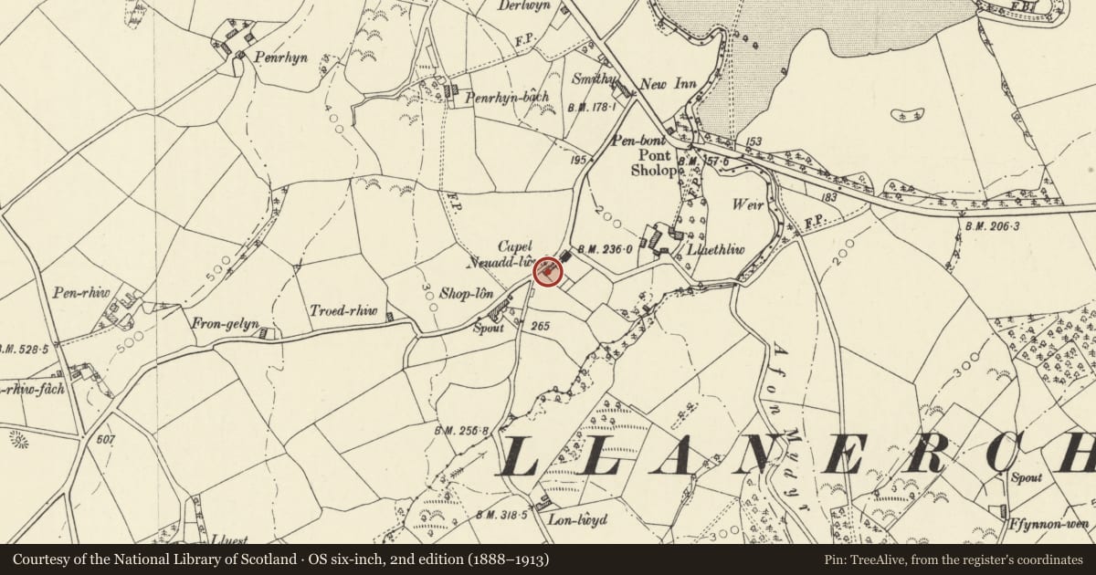
5 historical maps cover this location, the earliest the 1608 map "(13) Cambriae Typus." (David Rumsey Map Collection, Stanford Libraries).
Historical maps covering this location
- 1608 · (13) Cambriae Typus. (David Rumsey Map Collection, Stanford Libraries)
- 1830 · V.3:11-15:XV. Britisches Reich. A. Kon: England. b. Frstenthum Wales: Shire: 37-40 (David Rumsey Map Collection, Stanford Libraries)
- 1899 · 194 Llangranog (Hills) (David Rumsey Map Collection, Stanford Libraries)
- 1901 · Sheet 14. (David Rumsey Map Collection, Stanford Libraries)
- 1919 · Sheet 78. Lampeter. (David Rumsey Map Collection, Stanford Libraries)
Cadw's description
Location
Situated just W of Neuaddlwyd Independent chapel and vestry and attached to the latter.
History
Row of houses behind Neuaddlwyd chapel, one mid C19 house, Ty Capel, and three early C19 cottages now two and known collectively as Siop Fach. Whole row marked on 1846 Tithe Map.
Exterior
Siop Fach: Whitewashed rubble stone with slate roof , stone double ridge stack between first and second cottages and stone end stack to second. Built down slope such that first is two-storey and the other single storey but with roof and windows following line of slope. First cottage, to left has ground floor door to left and one window each floor to right. Second cottage is single-storey, double fronted with centre boarded doors and small 9-pane windows, the top three tilting. Openings to left are heavily stepped and to right near level.
Reason for designation
Included for its well-preserved character as a vernacular row, attached to the chapel and vestry.
Nearby in the register
- Siop Fach (First Cottage)Domesticunder 1 mi
- Ty CapelDomesticunder 1 mi
- Vestry and Coach-house to Capel NeuaddlwydDomesticunder 1 mi
- Enclosure Railings to Capel NeuaddlwydReligious, Ritual and Funeraryunder 1 mi
Other entries of the same register within about three miles of this one, by straight line.