Cof Cymru: National Historic Assets of Wales · Wales
Pair of Circular Privies
Gresford, Wrexham, Wales
A Grade II listed building in Marford, Gresford, Wrexham, designated on 3 June 1996.
The record
- Designation
- Listed building, Grade II
- Broad class
- Domestic
- Date of designation
- 3 June 1996
- Locality
- Marford
- Community
- Gresford
- Unitary authority
- Wrexham
- Country
- Wales
- Coordinates
- 53.09914, -2.95770
- Cadw reference
- 17686
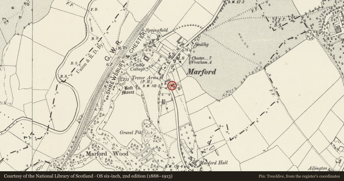
Slide toward Today to fade the historical sheet and see the modern map underneath.
David Rumsey Map Collection, Stanford LibrariesDavid Rumsey Map Collection, Stanford LibrariesDavid Rumsey Map Collection, Stanford LibrariesDavid Rumsey Map Collection, Stanford LibrariesDavid Rumsey Map Collection, Stanford Libraries
5 historical maps cover this location, the earliest the 1608 map "(13) Cambriae Typus." (David Rumsey Map Collection, Stanford Libraries).
Historical maps covering this location
- 1608 · (13) Cambriae Typus. (David Rumsey Map Collection, Stanford Libraries)
- 1637 · Particular description of Wales. Cambria seu Wallia (David Rumsey Map Collection, Stanford Libraries)
- 1883 · Watershed map England, Wales 3. (David Rumsey Map Collection, Stanford Libraries)
- 1898 · 108 Flint (Hills) (David Rumsey Map Collection, Stanford Libraries)
- 1901 · Sheet 9 and 10. (David Rumsey Map Collection, Stanford Libraries)
Cadw's description
Location
Situated off the E side of Marford Hill on the S side of a driveway between Beechmount and Poplar Cottage.
History
Probably early C19 and formerly associated with Beechmount, but now separated from its grounds by a lane. In the picturesque style of the Marford Trevalyn Estate buildings while it was under the stewardship of John Boydell.
Exterior
Painted brick, pair of circular former privies with entrances with cambered heads and replaced conical roofs.
Reason for designation
Listed as a pair of early C19 privies and examples of a relatively rare building type.
Nearby in the register
- BeechmountDomesticunder 1 mi
- The Cottage also known as Walnut CottageDomesticunder 1 mi
- The Trevor Arms HotelCommercialunder 1 mi
- Summerhouse at Holly CottageDomesticunder 1 mi
Other entries of the same register within about three miles of this one, by straight line.