Cof Cymru: National Historic Assets of Wales · Wales
Graveyard Wall and Gatepiers to All Saints Church (included gates to S gateway)
Gresford, Wrexham, Wales
A Grade II listed building in Gresford, Wrexham, designated on 3 June 1996.
The record
- Designation
- Listed building, Grade II
- Broad class
- Religious, Ritual and Funerary
- Date of designation
- 3 June 1996
- Locality
- Gresford
- Community
- Gresford
- Unitary authority
- Wrexham
- Country
- Wales
- Coordinates
- 53.08719, -2.97787
- Cadw reference
- 17672
Slide toward Today to fade the historical sheet and see the modern map underneath.
David Rumsey Map Collection, Stanford LibrariesDavid Rumsey Map Collection, Stanford LibrariesDavid Rumsey Map Collection, Stanford LibrariesDavid Rumsey Map Collection, Stanford LibrariesDavid Rumsey Map Collection, Stanford Libraries
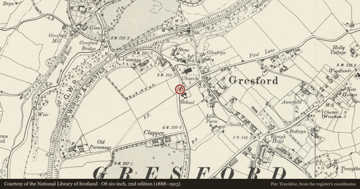
5 historical maps cover this location, the earliest the 1608 map "(13) Cambriae Typus." (David Rumsey Map Collection, Stanford Libraries).
Historical maps covering this location
- 1608 · (13) Cambriae Typus. (David Rumsey Map Collection, Stanford Libraries)
- 1637 · Particular description of Wales. Cambria seu Wallia (David Rumsey Map Collection, Stanford Libraries)
- 1883 · Watershed map England, Wales 3. (David Rumsey Map Collection, Stanford Libraries)
- 1898 · 121 Wrexham (Hills) (David Rumsey Map Collection, Stanford Libraries)
- 1901 · Sheet 9 and 10. (David Rumsey Map Collection, Stanford Libraries)
Cadw's description
Location
Situated close to the centre of the Gresford around the graveyard of All Saints Church, continuing along School Hill and Clappers Lane.
History
The churchyard was extended to the W taking in part of the village green probably earlier C19; the wall and gatepiers may date from this period.
Exterior
Low stone wall with stone coping surmounted by cast-iron railings with simple spike finials . There are 3 sets of stone gatepiers; probably of early C19 date. Those to the N and NE consist of pairs of tall stone piers with cusped panelling on the faces and a Gothic style crocketed ogee caps with foliated finials. The gate to the S has a pair of similar piers with crocketed pyramidal caps. This gateway has a fine cast- and wrought-iron gate of C18 character
Reason for designation
Listed as a graveyard wall with good ornamental gatepiers and for group value with All Saints Parish Church.
Nearby in the register
- Former SchoolroomEducationunder 1 mi
- Schoolhouse and attached Walls and gatepiersEducationunder 1 mi
- All Saints Primary SchoolEducationunder 1 mi
- No 5 of 6 Graves in the Graveyard to W of All Saints ChurchReligious, Ritual and Funeraryunder 1 mi
Other entries of the same register within about three miles of this one, by straight line.