Cof Cymru: National Historic Assets of Wales · Wales
1 Chapel Street
Offa, Wrexham, Wales
A Grade II listed building in Offa, Wrexham, designated on 16 June 1980.
The record
- Designation
- Listed building, Grade II
- Broad class
- Domestic
- Date of designation
- 16 June 1980
- Community
- Offa
- Unitary authority
- Wrexham
- Country
- Wales
- Coordinates
- 53.04324, -2.99533
- Cadw reference
- 1766
Slide toward Today to fade the historical sheet and see the modern map underneath.
David Rumsey Map Collection, Stanford LibrariesDavid Rumsey Map Collection, Stanford LibrariesDavid Rumsey Map Collection, Stanford LibrariesDavid Rumsey Map Collection, Stanford LibrariesDavid Rumsey Map Collection, Stanford Libraries
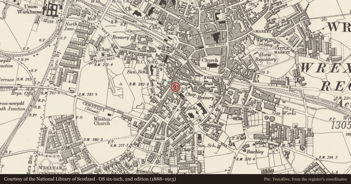
5 historical maps cover this location, the earliest the 1608 map "(13) Cambriae Typus." (David Rumsey Map Collection, Stanford Libraries).
Historical maps covering this location
- 1608 · (13) Cambriae Typus. (David Rumsey Map Collection, Stanford Libraries)
- 1883 · Watershed map England, Wales 3. (David Rumsey Map Collection, Stanford Libraries)
- 1898 · 121 Wrexham (Hills) (David Rumsey Map Collection, Stanford Libraries)
- 1898 · 121 Wrexham (Outline) (David Rumsey Map Collection, Stanford Libraries)
- 1901 · Sheet 9 and 10. (David Rumsey Map Collection, Stanford Libraries)
Cadw's description
Location
Set back in gardens on the corner of Chapel Street and Bridge Street, facing the Albion Public House.
History
House, late C18.
Exterior
Brick with slate roof. 2 storeys, 2 window range with central entrance, a 5-panelled door in moulded wood architrave with steep pediment, flanked by flush framed 4-pane sash windows on each floor, with segmentally arched heads to ground floor. Dentilled eaves cornice, coped gables with end wall stacks. Short rear wing.
Reason for designation
A good example of a late C18 small vernacular house.
Nearby in the register
- Pen-y-Bryn Welsh Baptist ChapelReligious, Ritual and Funeraryunder 1 mi
- 4 Chapel StreetDomesticunder 1 mi
- Burton BuildingsCommercialunder 1 mi
- The Bowling Green Public HouseCommercialunder 1 mi
Other entries of the same register within about three miles of this one, by straight line.