Cof Cymru: National Historic Assets of Wales · Wales
Samson Court
Goldcliff, Newport, Wales
A Grade II listed building in Whitson, Newport, Goldcliff, designated on 31 October 1996.
The record
- Designation
- Listed building, Grade II
- Broad class
- Domestic
- Date of designation
- 31 October 1996
- Locality
- Whitson
- Town
- Newport
- Community
- Goldcliff
- Unitary authority
- Newport
- Country
- Wales
- Coordinates
- 51.54338, -2.89997
- Cadw reference
- 17541
Slide toward Today to fade the historical sheet and see the modern map underneath.
David Rumsey Map Collection, Stanford LibrariesDavid Rumsey Map Collection, Stanford LibrariesDavid Rumsey Map Collection, Stanford LibrariesDavid Rumsey Map Collection, Stanford LibrariesDavid Rumsey Map Collection, Stanford Libraries
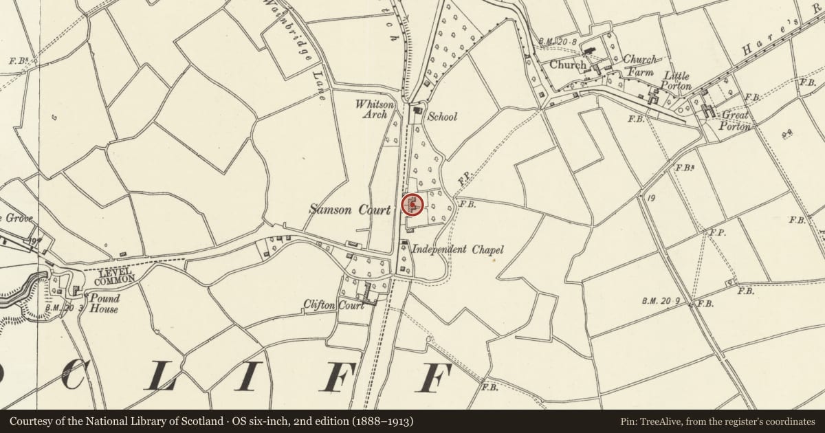
5 historical maps cover this location, the earliest the 1636 map "Cornubia : Devonia, Somersetus, Dorcestria, Wiltonia, Glocestria ..." (David Rumsey Map Collection, Stanford Libraries).
Historical maps covering this location
- 1636 · Cornubia : Devonia, Somersetus, Dorcestria, Wiltonia, Glocestria ... (David Rumsey Map Collection, Stanford Libraries)
- 1865 · England and Wales. England No. 6. (David Rumsey Map Collection, Stanford Libraries)
- 1895 · Sheet 11. Ordnance Survey of England and Wales. (David Rumsey Map Collection, Stanford Libraries)
- 1905 · 250 Chepstow (Hills) (David Rumsey Map Collection, Stanford Libraries)
- 1913 · Sheet 102. Newport. (David Rumsey Map Collection, Stanford Libraries)
Cadw's description
Location
To W of road, near junction with Clifton Common.
History
Probable origins as C17 house, rebuilt late C18/early C19, and modernised later C19.
Exterior
Farmhouse. Rendered, slate roof, 3 brick chimneys to ridge. Two storeys, asymmetrical 4 window front. Hornless sash windows with marginal glazing bars. Open timber Gothic porch over panelled door. Outshut rear, and long modern extension at right angles. Long agricultural range to L.
Reason for designation
Listed as well-preserved farmhouse typical of Gwent levels.
Nearby in the register
- Whitson ChurchReligious, Ritual and Funeraryunder 1 mi
- Little Porton CottageDomesticunder 1 mi
- Little Porton ByreAgriculture and Subsistenceunder 1 mi
- Whitson FarmDomesticunder 1 mi
Other entries of the same register within about three miles of this one, by straight line.