Cof Cymru: National Historic Assets of Wales · Wales
Bridge over River Aeron near Ty Glyn Camp
Ciliau Aeron, Ceredigion, Wales
A Grade II listed building in Ciliau Aeron, Ceredigion, designated on 23 May 1996.
The record
- Designation
- Listed building, Grade II
- Broad class
- Transport
- Date of designation
- 23 May 1996
- Locality
- Ciliau Aeron
- Community
- Ciliau Aeron
- Unitary authority
- Ceredigion
- Country
- Wales
- Coordinates
- 52.21527, -4.19741
- Cadw reference
- 17523
Slide toward Today to fade the historical sheet and see the modern map underneath.
David Rumsey Map Collection, Stanford LibrariesDavid Rumsey Map Collection, Stanford LibrariesDavid Rumsey Map Collection, Stanford LibrariesDavid Rumsey Map Collection, Stanford LibrariesDavid Rumsey Map Collection, Stanford Libraries
5 historical maps cover this location, the earliest the 1608 map "(13) Cambriae Typus." (David Rumsey Map Collection, Stanford Libraries).
Historical maps covering this location
- 1608 · (13) Cambriae Typus. (David Rumsey Map Collection, Stanford Libraries)
- 1830 · V.3:11-15:XV. Britisches Reich. A. Kon: England. b. Frstenthum Wales: Shire: 37-40 (David Rumsey Map Collection, Stanford Libraries)
- 1848 · 57. Tregaron, SW Quad. (David Rumsey Map Collection, Stanford Libraries)
- 1901 · Sheet 14. (David Rumsey Map Collection, Stanford Libraries)
- 1919 · Sheet 78. Lampeter. (David Rumsey Map Collection, Stanford Libraries)
Cadw's description
Location
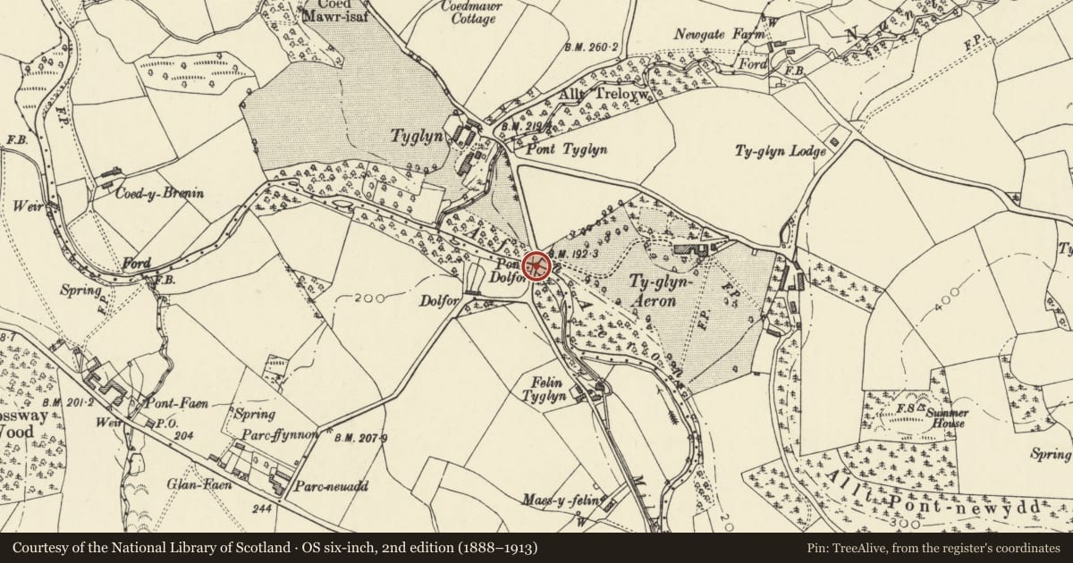
Situated 0.75km N of Ciliau Aeron, immediately S of entrance to Ty Glyn Holiday Camp.
History
Late C18/early C19, widened later on downstream (W) side. Later alterations to parapets.
Exterior
Rubble built. Single recessed segmental arch of wide span, keystone to downstream (later) side. Clear evidence of widening underneath. Small storm-drain to S. Parapets with massive stone slabs. The parapet wall above the downstream arch is bowed inwards with straight joints each side, indicating later repair. Parapets continue as retaining walls, abutting gateway to Ty Glyn Holiday Camp (former gates to Ty Glyn Aeron) to NE.
Reason for designation
Attractively designed bridge of late C18/ early C19 date with impressive span.
Nearby in the register
- Ty Glyn including attached wings to main gable endsDomesticunder 1 mi
- Brewhouse to NE of Ty GlynDomesticunder 1 mi
- Granary at S end of farmyard at Ty GlynAgriculture and Subsistenceunder 1 mi
- Stable range on E side of farm yard at Ty GlynDomesticunder 1 mi
Other entries of the same register within about three miles of this one, by straight line.