Cof Cymru: National Historic Assets of Wales · Wales
Former Railway Bridge over Montgomeryshire Canal
Welshpool, Powys, Wales
A Grade II listed building in Welshpool, Powys, designated on 11 March 1981.
The record
- Designation
- Listed building, Grade II
- Broad class
- Transport
- Date of designation
- 11 March 1981
- Locality
- Welshpool
- Community
- Welshpool
- Unitary authority
- Powys
- Country
- Wales
- Coordinates
- 52.65932, -3.14409
- Cadw reference
- 16725
Slide toward Today to fade the historical sheet and see the modern map underneath.
David Rumsey Map Collection, Stanford LibrariesDavid Rumsey Map Collection, Stanford LibrariesDavid Rumsey Map Collection, Stanford LibrariesDavid Rumsey Map Collection, Stanford LibrariesLlyfrgell Genedlaethol Cymru – The National Library of Wales
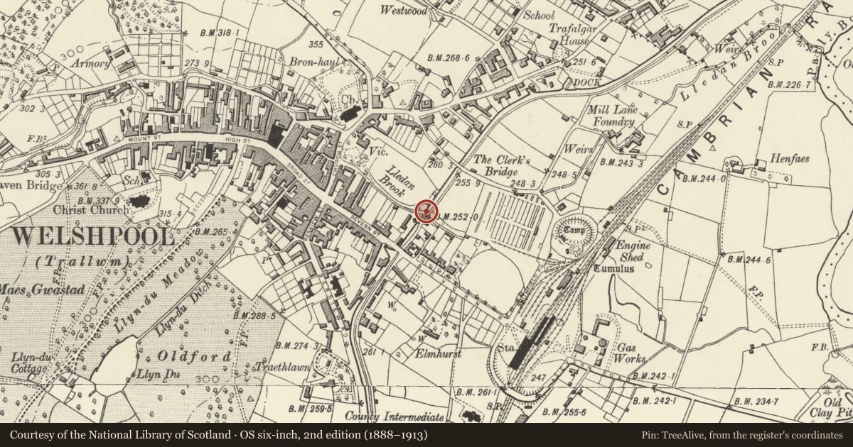
5 historical maps cover this location, the earliest the 1795 map "To Sir Watkin Williams-Wynn Bart ... the map of the six counties of North Wales is most humbly inscribed by his obedient humble servant" (Llyfrgell Genedlaethol Cymru – The National Library of Wales).
Historical maps covering this location
- 1795 · To Sir Watkin Williams-Wynn Bart ... the map of the six counties of North Wales is most… (Llyfrgell Genedlaethol Cymru – The National Library of Wales)
- 1883 · Watershed map England, Wales 3. (David Rumsey Map Collection, Stanford Libraries)
- 1899 · 151 Welshpool (Hills) (David Rumsey Map Collection, Stanford Libraries)
- 1901 · Sheet 9 and 10. (David Rumsey Map Collection, Stanford Libraries)
- 1916 · Sheet 60. Shrewsbury. (David Rumsey Map Collection, Stanford Libraries)
Cadw's description
Location
Immediately N of the Lledan Aqueduct, carrying a footpath over the canal.
Exterior
History: The bridge was built to carry the Welshpool and Llanfair Railway over the canal. The Welshpool and Llanfair Caereinion Railway Company was formed in 1898, and the railway opened in 1903. It was taken over by the Great Western Railway in 1921, and closed by British Rail in 1956.
Description: Stone abutments with rusticated terminal piers at E side and rough rubble to W, support cast-iron girders carrying road-bed (formed from sleepers).
A unique surviving relic of the light railway in its length through the town, the bridge also forms part of a group of structures associated with the canal.
References: Eva Bredsdorff, Welshpool in Old Photographs, 1993, p.84;
Ralph Cartwright and R.T.Russell, The Welshpool and Llanfair Railway, 1972.
Nearby in the register
- Lledan Brook Aqueduct and WeirTransportunder 1 mi
- Aqueduct CottageDomesticunder 1 mi
- Former Canal WarehouseCommercialunder 1 mi
- Clive PlaceDomesticunder 1 mi
Other entries of the same register within about three miles of this one, by straight line.