Cof Cymru: National Historic Assets of Wales · Wales
Former Canal Warehouse
Welshpool, Powys, Wales
A Grade II listed building in Welshpool, Powys, designated on 11 March 1981.
The record
- Designation
- Listed building, Grade II
- Broad class
- Commercial
- Date of designation
- 11 March 1981
- Locality
- Welshpool
- Community
- Welshpool
- Unitary authority
- Powys
- Country
- Wales
- Coordinates
- 52.65889, -3.14439
- Cadw reference
- 16724
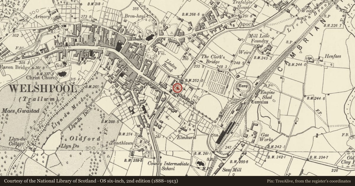
Slide toward Today to fade the historical sheet and see the modern map underneath.
David Rumsey Map Collection, Stanford LibrariesDavid Rumsey Map Collection, Stanford LibrariesDavid Rumsey Map Collection, Stanford LibrariesDavid Rumsey Map Collection, Stanford LibrariesLlyfrgell Genedlaethol Cymru – The National Library of Wales
5 historical maps cover this location, the earliest the 1795 map "To Sir Watkin Williams-Wynn Bart ... the map of the six counties of North Wales is most humbly inscribed by his obedient humble servant" (Llyfrgell Genedlaethol Cymru – The National Library of Wales).
Historical maps covering this location
- 1795 · To Sir Watkin Williams-Wynn Bart ... the map of the six counties of North Wales is most… (Llyfrgell Genedlaethol Cymru – The National Library of Wales)
- 1883 · Watershed map England, Wales 3. (David Rumsey Map Collection, Stanford Libraries)
- 1899 · 151 Welshpool (Hills) (David Rumsey Map Collection, Stanford Libraries)
- 1901 · Sheet 9 and 10. (David Rumsey Map Collection, Stanford Libraries)
- 1916 · Sheet 60. Shrewsbury. (David Rumsey Map Collection, Stanford Libraries)
Cadw's description
Location
At right-angles to the canal, alongside the tow-path between the Severn Street Bridge and the Lledan Aqueduct.
Exterior
History: The eastern arm of the Montgomeryshire Canal was constructed between 1794-97. The warehouse was built in the early C19 - part of a second phase of development of the canal wharf at Welshpool. It was occupied in 1845 by a canal merchant (Thomas Groom) and in 1859 by the canal company.
Description: Roughly coursed and squared local green rubble, with slate roof. Gable facing canal has full-height loading bay divided as a door on each floor, in a heavy wood frame. Remains of housing for former external crane visible above. Return elevation to NE has similar wide openings, and a small boarded window beneath the eaves.
The warehouse is a fine example of small-scale canal architecture which forms part of a group of related structures associated with the major canal wharf at Welshpool.
Reference: Stephen Hughes, The Archaeology of the Montgomeryshire Canal, 1988, p.124.
Nearby in the register
- Aqueduct CottageDomesticunder 1 mi
- Clive PlaceDomesticunder 1 mi
- Lledan Brook Aqueduct and WeirTransportunder 1 mi
- Former Railway Bridge over Montgomeryshire CanalTransportunder 1 mi
Other entries of the same register within about three miles of this one, by straight line.