Cof Cymru: National Historic Assets of Wales · Wales
Magpie Cottage
Hanmer, Wrexham, Wales
A Grade II listed building in Hanmer, Wrexham, designated on 16 November 1962.
The record
- Designation
- Listed building, Grade II
- Broad class
- Domestic
- Date of designation
- 16 November 1962
- Locality
- Hanmer
- Community
- Hanmer
- Unitary authority
- Wrexham
- Country
- Wales
- Coordinates
- 52.95095, -2.81237
- Cadw reference
- 1668
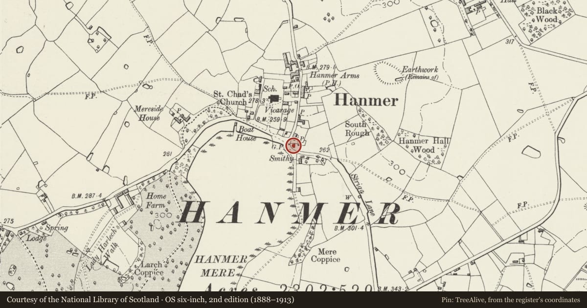
Slide toward Today to fade the historical sheet and see the modern map underneath.
David Rumsey Map Collection, Stanford LibrariesDavid Rumsey Map Collection, Stanford LibrariesDavid Rumsey Map Collection, Stanford LibrariesDavid Rumsey Map Collection, Stanford LibrariesDavid Rumsey Map Collection, Stanford Libraries
5 historical maps cover this location, the earliest the 1637 map "Particular description of Wales. Cambria seu Wallia" (David Rumsey Map Collection, Stanford Libraries).
Historical maps covering this location
- 1637 · Particular description of Wales. Cambria seu Wallia (David Rumsey Map Collection, Stanford Libraries)
- 1861 · 73. Market Drayton. (David Rumsey Map Collection, Stanford Libraries)
- 1883 · Watershed map England, Wales 3. (David Rumsey Map Collection, Stanford Libraries)
- 1897 · 122 Nantwich (Hills) (David Rumsey Map Collection, Stanford Libraries)
- 1901 · Sheet 9 and 10. (David Rumsey Map Collection, Stanford Libraries)
Cadw's description
Location
Prominently sited at the W end of Striga Lane, at the main road junction in the village, and opposite Hanmer Mere.
History
A C17 house, probably originally of lobby-entry plan, which remains discernible despite there having been a later central entrance now converted back to a window. The central entrance is indicated on the 1873 Ordnance Survey by a porch, which has since been taken down and replaced by a new porch further L.
Exterior
A 1½-storey 2-window box-framed house with brick nogging painted white, steep thatch roof with brick stack to the L end, and a tall brick stack rising from the eaves on the R side. The gabled porch has a window to the front and half-glazed door in the side wall. The front has 2-light casement windows, of which the L-hand is in a former doorway. Eyebrow dormers have similar windows.
Interior
1962 survey recorded exposed beams and joists and inglenook fireplace with beam above.
Reason for designation
Listed as small sub-medieval timber-framed house with thatch roof, which stands at a prominent position in the village next to the mere, where it makes an important contribution to the overall historical integrity of the village.
Nearby in the register
- Chadwell and Hanmer Village StoresNo class recordedunder 1 mi
- Gates and gate piers at S entrance to Hanmer churchyardNo class recordedunder 1 mi
- Hanmer war memorialNo class recordedunder 1 mi
- The VicarageDomesticunder 1 mi
Other entries of the same register within about three miles of this one, by straight line.