Cof Cymru: National Historic Assets of Wales · Wales
Outbuilding at Pennant
Berriew, Powys, Wales
A Grade II listed building in Berriew, Powys, designated on 21 August 1995.
The record
- Designation
- Listed building, Grade II
- Broad class
- Agriculture and Subsistence
- Date of designation
- 21 August 1995
- Community
- Berriew
- Unitary authority
- Powys
- Country
- Wales
- Coordinates
- 52.56464, -3.22824
- Cadw reference
- 16391
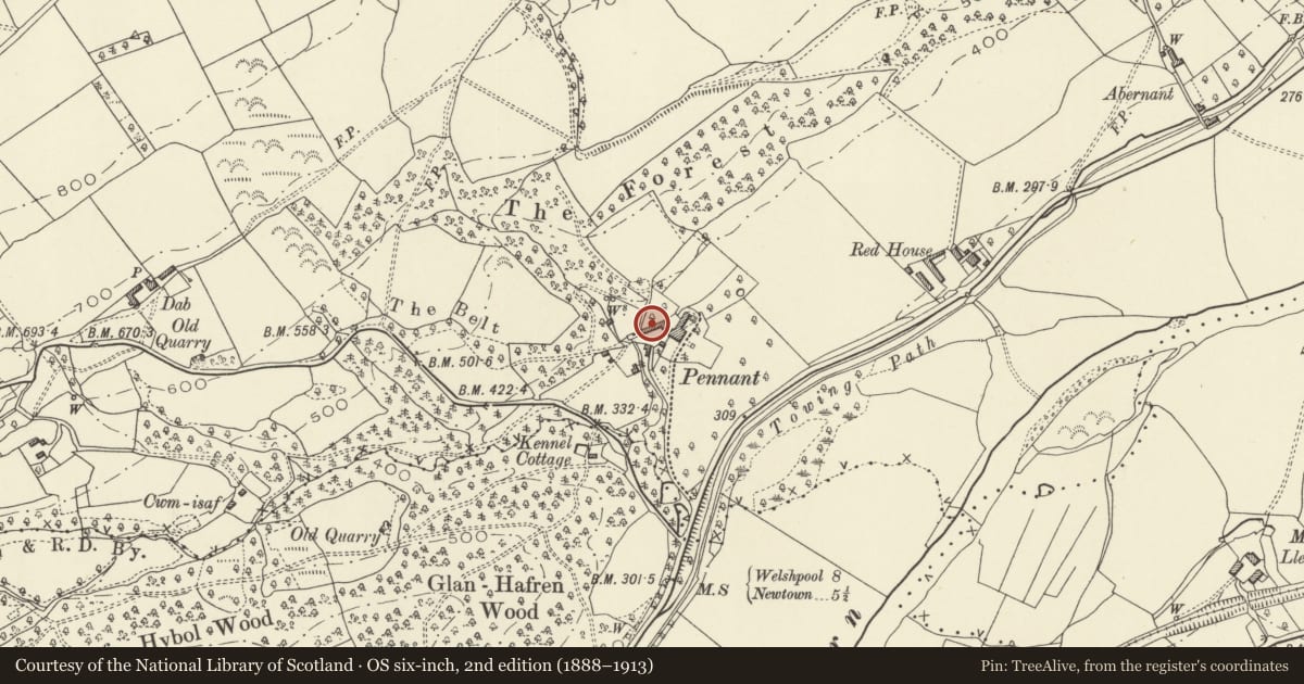
Slide toward Today to fade the historical sheet and see the modern map underneath.
David Rumsey Map Collection, Stanford LibrariesDavid Rumsey Map Collection, Stanford LibrariesDavid Rumsey Map Collection, Stanford LibrariesLlyfrgell Genedlaethol Cymru – The National Library of WalesDavid Rumsey Map Collection, Stanford Libraries
5 historical maps cover this location, the earliest the 1637 map "Particular description of Wales. Cambria seu Wallia" (David Rumsey Map Collection, Stanford Libraries).
Historical maps covering this location
- 1637 · Particular description of Wales. Cambria seu Wallia (David Rumsey Map Collection, Stanford Libraries)
- 1795 · To Sir Watkin Williams-Wynn Bart ... the map of the six counties of North Wales is most… (Llyfrgell Genedlaethol Cymru – The National Library of Wales)
- 1883 · Watershed map England, Wales 3. (David Rumsey Map Collection, Stanford Libraries)
- 1899 · 165 Montgomery (Hills) (David Rumsey Map Collection, Stanford Libraries)
- 1901 · Sheet 14. (David Rumsey Map Collection, Stanford Libraries)
Cadw's description
Location
Set back to the rear of the house, forming one range of an informal courtyard.
Exterior
Possibly contemporary with the house, and of mid C18 date, though likely to incorporate earlier structures. An integrated range of farmbuildings, including cow-house, tack room, cartshed, stores etc. and reputedly, a threshing floor. Timber framed, raised on stone and brick plinths, and mainly weatherboarded, but with some brick nogging and plaster over wattle and daub. Graded slate roofs. Long range (of 7 bays) has double doors to left (for cartshed etc), and smaller doors to right, giving access to tack room (with remarkably complete set of interior fittings), cow-house and feeding passage. Stores etc. in gabled wing to the right, which houses a series of dove nesting boxes in its gable apex.
Reason for designation
Included for group value with the main house at Pennant, and as a fine example of a vernacular farm-building range of considerable character.
Nearby in the register
- PennantDomesticunder 1 mi
- Flanking Stable at PennantDomesticunder 1 mi
- Laundry Buildings at PennantDomesticunder 1 mi
- Bridge 142 over the Mongomeryshire CanalTransportunder 1 mi
Other entries of the same register within about three miles of this one, by straight line.