Cof Cymru: National Historic Assets of Wales · Wales
Bridge 142 over the Mongomeryshire Canal
Berriew, Powys, Wales
A Grade II listed building in Pennant, Berriew, Powys, designated on 21 August 1995.
The record
- Designation
- Listed building, Grade II
- Broad class
- Transport
- Date of designation
- 21 August 1995
- Locality
- Pennant
- Community
- Berriew
- Unitary authority
- Powys
- Country
- Wales
- Coordinates
- 52.56502, -3.22201
- Cadw reference
- 16392
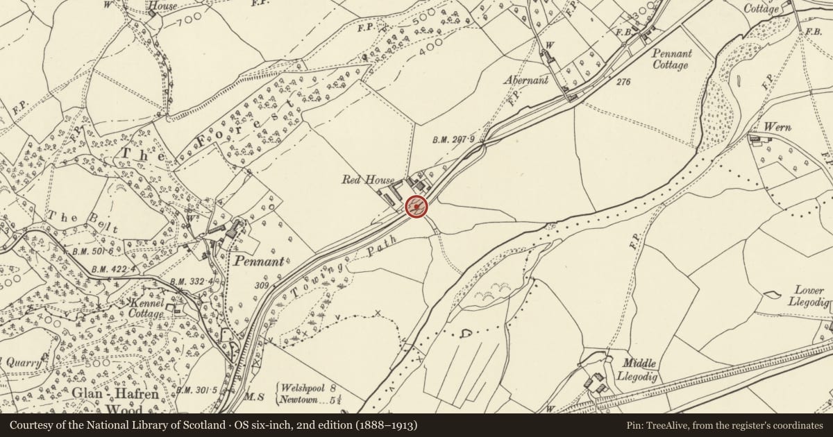
Slide toward Today to fade the historical sheet and see the modern map underneath.
David Rumsey Map Collection, Stanford LibrariesDavid Rumsey Map Collection, Stanford LibrariesDavid Rumsey Map Collection, Stanford LibrariesLlyfrgell Genedlaethol Cymru – The National Library of WalesDavid Rumsey Map Collection, Stanford Libraries
5 historical maps cover this location, the earliest the 1637 map "Particular description of Wales. Cambria seu Wallia" (David Rumsey Map Collection, Stanford Libraries).
Historical maps covering this location
- 1637 · Particular description of Wales. Cambria seu Wallia (David Rumsey Map Collection, Stanford Libraries)
- 1795 · To Sir Watkin Williams-Wynn Bart ... the map of the six counties of North Wales is most… (Llyfrgell Genedlaethol Cymru – The National Library of Wales)
- 1883 · Watershed map England, Wales 3. (David Rumsey Map Collection, Stanford Libraries)
- 1899 · 165 Montgomery (Hills) (David Rumsey Map Collection, Stanford Libraries)
- 1901 · Sheet 14. (David Rumsey Map Collection, Stanford Libraries)
Cadw's description
Location
Opposite the Red House, immediately adjacent to the main A483.
History
The Shropshire Union Railways and Canal Company purchased the western branch of the Montgomeryshire Canal in 1850, and carried out a programme of engineering work, including the replacement of several early bridges. This swing bridge is built to a design associated with the Company, and is likely to be late C19.
Exterior
4 bellied cast-iron girders carried the decking of the bridge, which swings into a blue brick turning circle on the W bank of the canal. Rails to either side probably later additions or renewals.
Reason for designation
A significant element in the later phase of structures associated with the canal.
Nearby in the register
- Red House FarmhouseDomesticunder 1 mi
- Laundry Buildings at PennantDomesticunder 1 mi
- Flanking Stable at PennantDomesticunder 1 mi
- PennantDomesticunder 1 mi
Other entries of the same register within about three miles of this one, by straight line.