Cof Cymru: National Historic Assets of Wales · Wales
Bangor Bridge (Partly in Bangor-is-y-Coed Community)
Sesswick, Wrexham, Wales
A Grade I listed building in Bangor-is-y-Coed, Sesswick, Wrexham, designated on 16 November 1962.
The record
- Designation
- Listed building, Grade I
- Broad class
- Transport
- Date of designation
- 16 November 1962
- Locality
- Bangor-is-y-Coed
- Community
- Sesswick
- Unitary authority
- Wrexham
- Country
- Wales
- Coordinates
- 53.00273, -2.91375
- Cadw reference
- 1635
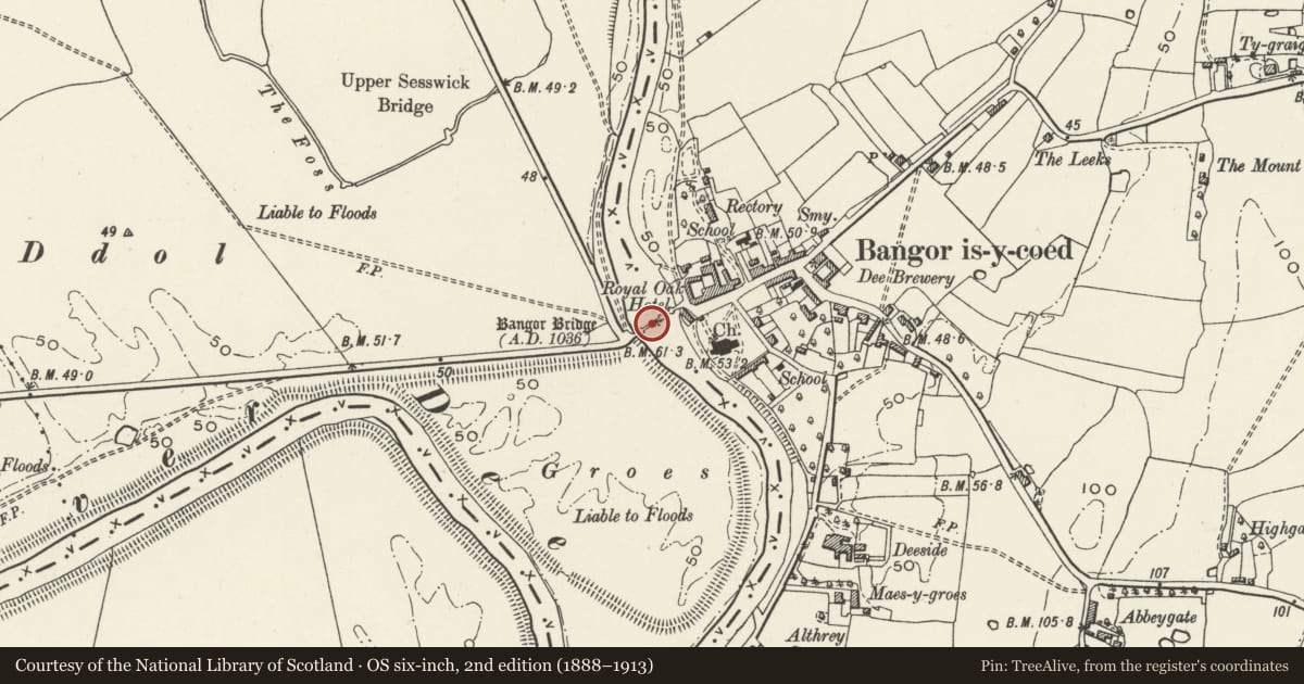
Slide toward Today to fade the historical sheet and see the modern map underneath.
David Rumsey Map Collection, Stanford LibrariesDavid Rumsey Map Collection, Stanford LibrariesDavid Rumsey Map Collection, Stanford LibrariesDavid Rumsey Map Collection, Stanford LibrariesDavid Rumsey Map Collection, Stanford Libraries
5 historical maps cover this location, the earliest the 1608 map "(13) Cambriae Typus." (David Rumsey Map Collection, Stanford Libraries).
Historical maps covering this location
- 1608 · (13) Cambriae Typus. (David Rumsey Map Collection, Stanford Libraries)
- 1861 · 73. Market Drayton. (David Rumsey Map Collection, Stanford Libraries)
- 1883 · Watershed map England, Wales 3. (David Rumsey Map Collection, Stanford Libraries)
- 1897 · 122 Nantwich (Hills) (David Rumsey Map Collection, Stanford Libraries)
- 1901 · Sheet 9 and 10. (David Rumsey Map Collection, Stanford Libraries)
Cadw's description
Location
Situated at the end of the High Street crossing the River Dee.
Exterior
See Record No.1645 for full description.
Reason for designation
Listed grade I as an impressive bridge of medieval origins but largely C17 work. Group value with the War Memorial and the Church of St Dunawd.
Scheduled Ancient Monument No: 1/0604/F17.
Nearby in the register
- Bangor Bridge (Partly in the Sesswick community)Transportunder 1 mi
- Bangor BridgeBridgeunder 1 mi
- War MemorialCommemorativeunder 1 mi
- Old Bridge HouseDomesticunder 1 mi
Other entries of the same register within about three miles of this one, by straight line.