Cof Cymru: National Historic Assets of Wales · Wales
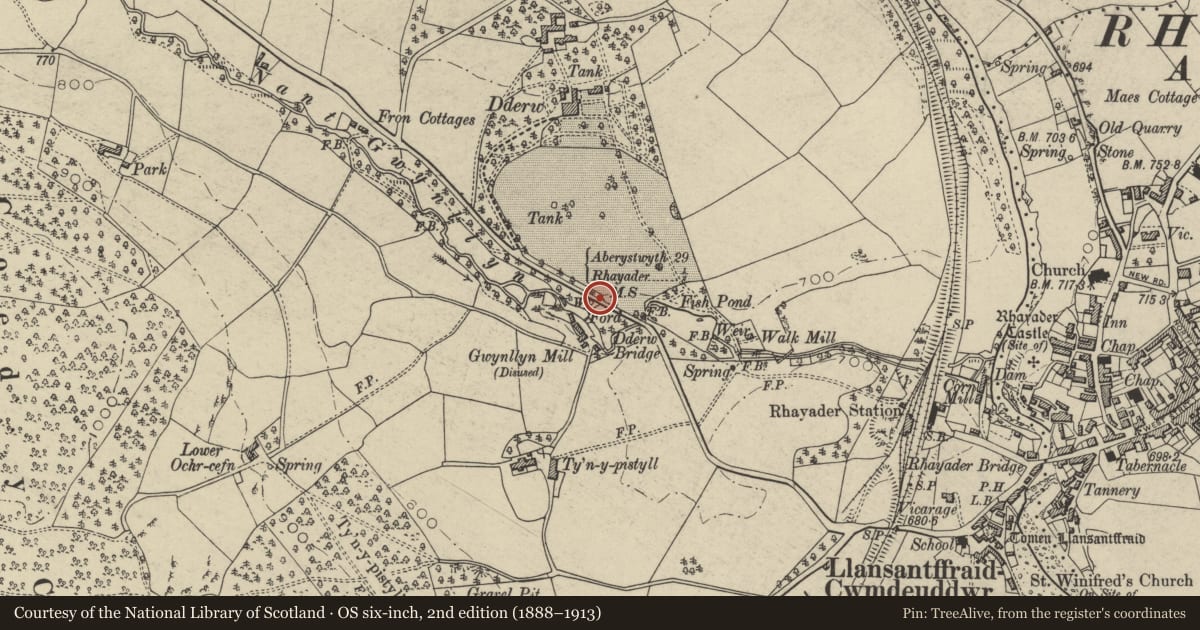
Milestone on Mountain Road to Aberystwyth
Rhayader, Powys, Wales
A Grade II listed building in Mountain Road to Aberystwyth, Rhayader, Powys, designated on 31 July 1995.
The record
- Designation
- Listed building, Grade II
- Broad class
- Transport
- Date of designation
- 31 July 1995
- Locality
- Mountain Road to Aberystwyth
- Community
- Rhayader
- Unitary authority
- Powys
- Country
- Wales
- Coordinates
- 52.30149, -3.52369
- Cadw reference
- 16228
Slide toward Today to fade the historical sheet and see the modern map underneath.
David Rumsey Map Collection, Stanford LibrariesDavid Rumsey Map Collection, Stanford LibrariesDavid Rumsey Map Collection, Stanford LibrariesDavid Rumsey Map Collection, Stanford LibrariesDavid Rumsey Map Collection, Stanford Libraries
5 historical maps cover this location, the earliest the 1608 map "(13) Cambriae Typus." (David Rumsey Map Collection, Stanford Libraries).
Historical maps covering this location
- 1608 · (13) Cambriae Typus. (David Rumsey Map Collection, Stanford Libraries)
- 1637 · Particular description of Wales. Cambria seu Wallia (David Rumsey Map Collection, Stanford Libraries)
- 1883 · Watershed map England, Wales 3. (David Rumsey Map Collection, Stanford Libraries)
- 1898 · 179 Rhyader (Hills) (David Rumsey Map Collection, Stanford Libraries)
- 1901 · Sheet 14. (David Rumsey Map Collection, Stanford Libraries)
Cadw's description
Location
Opposite lane to NW of Dderw Bridge.
Exterior
Early C19 milestone, stone, round head, circa 0.75m high. Inscription
" Aberystwyth 29 Rhayader +".
Nearby in the register
- Rhayader CastleCastleunder 1 mi
- Tomen LlansantffraidMotteunder 1 mi
- (3) Group of HousesDomesticunder 1 mi
- (2) Group of HousesDomesticunder 1 mi
Other entries of the same register within about three miles of this one, by straight line.