Cof Cymru: National Historic Assets of Wales · Wales
Barn Range to the SE of Dol-Gamedd
Brithdir and Llanfachreth, Gwynedd, Wales
A Grade II listed building in Bont Newydd, Brithdir and Llanfachreth, Gwynedd, designated on 26 May 1995.
The record
- Designation
- Listed building, Grade II
- Broad class
- Agriculture and Subsistence
- Date of designation
- 26 May 1995
- Locality
- Bont Newydd
- Community
- Brithdir and Llanfachreth
- Unitary authority
- Gwynedd
- Country
- Wales
- Coordinates
- 52.76392, -3.81539
- Cadw reference
- 16036
Slide toward Today to fade the historical sheet and see the modern map underneath.
David Rumsey Map Collection, Stanford LibrariesDavid Rumsey Map Collection, Stanford LibrariesLlyfrgell Genedlaethol Cymru – The National Library of WalesDavid Rumsey Map Collection, Stanford LibrariesDavid Rumsey Map Collection, Stanford Libraries
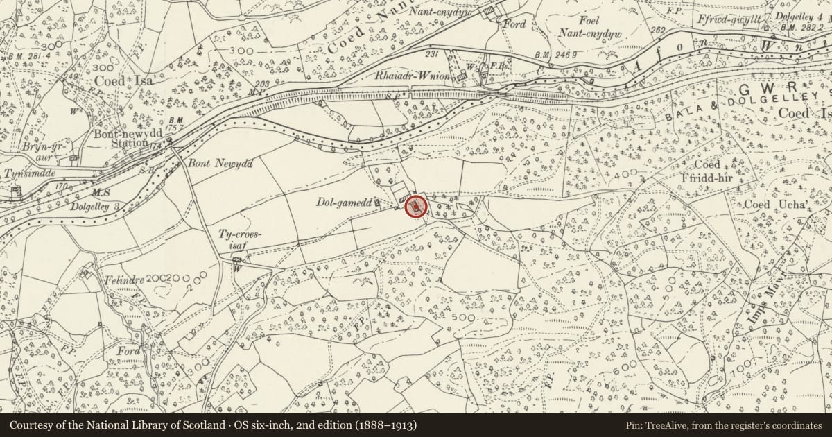
5 historical maps cover this location, the earliest the 1795 map "To Sir Watkin Williams-Wynn Bart ... the map of the six counties of North Wales is most humbly inscribed by his obedient humble servant" (Llyfrgell Genedlaethol Cymru – The National Library of Wales).
Historical maps covering this location
- 1795 · To Sir Watkin Williams-Wynn Bart ... the map of the six counties of North Wales is most… (Llyfrgell Genedlaethol Cymru – The National Library of Wales)
- 1830 · V.3:11-15:XV. Britisches Reich. A. Kon: England. b. Frstenthum Wales: Shire: 37-40 (David Rumsey Map Collection, Stanford Libraries)
- 1883 · Watershed map England, Wales 3. (David Rumsey Map Collection, Stanford Libraries)
- 1899 · 135 Harlech (Hills) (David Rumsey Map Collection, Stanford Libraries)
- 1901 · Sheet 9 and 10. (David Rumsey Map Collection, Stanford Libraries)
Cadw's description
Location
Diagonally opposite Dol-Gamedd farmhouse .
Exterior
c.1700 barn extended and altered third-quarter C19, creating a C-shaped complex. Rubble construction with old slateroof. Main range with entrances to E; stable doors to either side of a gabled upper loading bay; boarded doors to this and a modern window below. Long catslide roof to rear. Gabled additions to SWand NW; the latter with external stone-stepped and parapeted access to upper gable entrance; recessed boarded door. Cart entrance to N side with stone lintel and modern wooden doors. Above, under the eaves, a wooden slatted window. The SE addition is in the form of an open cross-wing, forming a 3-bay hay barn; the lower half of the openings to the S have been filled in and the E gable has been reduced to the L.
Interior
4-bay primary block with chamfered collar trusses.
Reason for designation
Included for group value with Dol-Gamedd.
Nearby in the register
- Dol-GaneddDomesticunder 1 mi
- Bont NewyddTransportunder 1 mi
- Former House at Rhedyn Cochion (also known as Ffranc).Domesticunder 1 mi
- Byre (former Primary House) at BronwianDomesticunder 1 mi
Other entries of the same register within about three miles of this one, by straight line.