Cof Cymru: National Historic Assets of Wales · Wales
Old Tithe Barn (belonging to Gladestry Court)
Gladestry, Powys, Wales
A Grade II listed building in Gladestry, Powys, designated on 31 January 1995.
The record
- Designation
- Listed building, Grade II
- Broad class
- Agriculture and Subsistence
- Date of designation
- 31 January 1995
- Locality
- Gladestry
- Community
- Gladestry
- Unitary authority
- Powys
- Country
- Wales
- Coordinates
- 52.18913, -3.12769
- Cadw reference
- 15334
Slide toward Today to fade the historical sheet and see the modern map underneath.
David Rumsey Map Collection, Stanford LibrariesDavid Rumsey Map Collection, Stanford LibrariesDavid Rumsey Map Collection, Stanford LibrariesDavid Rumsey Map Collection, Stanford LibrariesDavid Rumsey Map Collection, Stanford Libraries
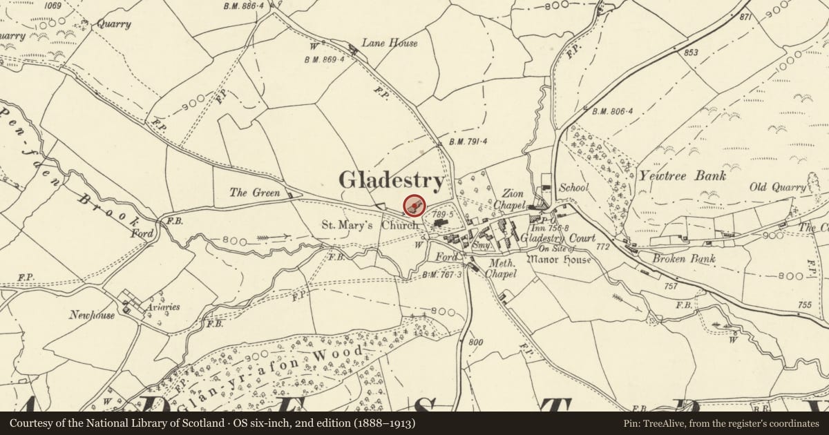
5 historical maps cover this location, the earliest the 1608 map "(13) Cambriae Typus." (David Rumsey Map Collection, Stanford Libraries).
Historical maps covering this location
- 1608 · (13) Cambriae Typus. (David Rumsey Map Collection, Stanford Libraries)
- 1637 · Particular description of Wales. Cambria seu Wallia (David Rumsey Map Collection, Stanford Libraries)
- 1883 · Watershed map England, Wales 3. (David Rumsey Map Collection, Stanford Libraries)
- 1898 · 197 Hay (Hills) (David Rumsey Map Collection, Stanford Libraries)
- 1901 · Sheet 14. (David Rumsey Map Collection, Stanford Libraries)
Cadw's description
Location
Prominently sited 50m to NW of the parish church.
History
c1800.
Exterior
5 bays with central threshing bay. Neat coursed rubble stone with ventilation slits, iron roof, double door entry. Rubble lean-to added to S side. Good quality pegged roof timbers with prominent assembly marks, early type king post trusses with two pairs of raking braces. Stud infill to panel between top of doors and eaves. Flagstone threshing floor.
Reason for designation
Good group value with church.
Nearby in the register
- Parish Church of St MaryReligious, Ritual and Funeraryunder 1 mi
- The White HeartCommercialunder 1 mi
- Corner HouseDomesticunder 1 mi
- Detached former Smithy Range (near The White Hart)Domesticunder 1 mi
Other entries of the same register within about three miles of this one, by straight line.