Cof Cymru: National Historic Assets of Wales · Wales
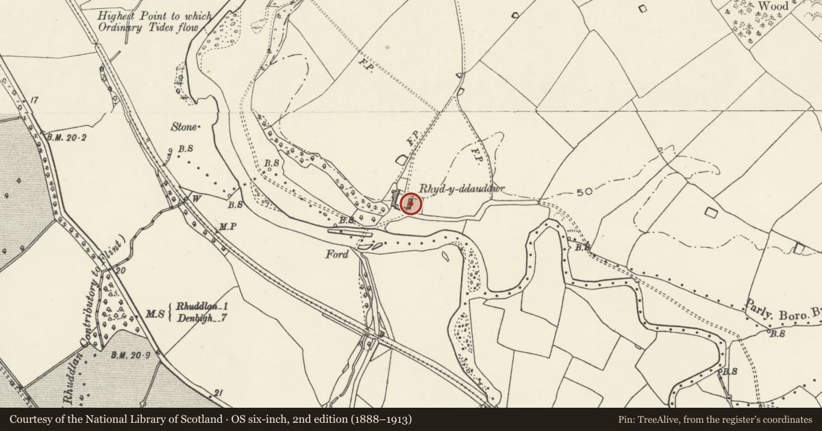
Barn at Rhydyddauddwr Farm
Rhuddlan, Denbighshire, Wales
A Grade II listed building in Rhuddlan, Denbighshire, designated on 10 November 1994.
The record
- Designation
- Listed building, Grade II
- Broad class
- Agriculture and Subsistence
- Date of designation
- 10 November 1994
- Community
- Rhuddlan
- Unitary authority
- Denbighshire
- Country
- Wales
- Coordinates
- 53.27901, -3.45456
- Cadw reference
- 14976
Slide toward Today to fade the historical sheet and see the modern map underneath.
David Rumsey Map Collection, Stanford LibrariesDavid Rumsey Map Collection, Stanford LibrariesNational Library of ScotlandDavid Rumsey Map Collection, Stanford LibrariesLlyfrgell Genedlaethol Cymru – The National Library of Wales
5 historical maps cover this location, the earliest the 1795 map "To Sir Watkin Williams-Wynn Bart ... the map of the six counties of North Wales is most humbly inscribed by his obedient humble servant" (Llyfrgell Genedlaethol Cymru – The National Library of Wales).
Historical maps covering this location
- 1795 · To Sir Watkin Williams-Wynn Bart ... the map of the six counties of North Wales is most… (Llyfrgell Genedlaethol Cymru – The National Library of Wales)
- 1883 · Watershed map England, Wales 3. (David Rumsey Map Collection, Stanford Libraries)
- 1898 · 95 Rhyl (Hills) (David Rumsey Map Collection, Stanford Libraries)
- 1901 · Sheet 9 and 10. (David Rumsey Map Collection, Stanford Libraries)
- 1963 · Map No. 36 - Local Government Commission for Wales : [Definitive maps showing proposed… (National Library of Scotland)
Cadw's description
Location
A detached building at the SE side of the farmyard.
Exterior
The barn forms part of a U-shaped farmstead, together with the farmhouse, stable and cowhouse range and shelter shed. Probably late C18 or early Cl9. Brick with slate roof. 2 storeys, with wide central double door, and narrower opposed rear doorway. Vents in right hand bay, and square loft entry to right and above doorway. External staircase against left hand bay, with upper doorway and blocked segmentally arched window. In the gable wall, 2 arcaded segmental arches to cartshed. The central bay of the barn is separated by brick partition walls with segmental archway leading through to storage bays.
Reason for designation
A good example of its type, and an important component in an intact late C18-early C19 courtyard farmstead.
Nearby in the register
- Shelter Shed at Rhydyddauddwr FarmAgriculture and Subsistenceunder 1 mi
- Cowhouse and Stable Range at Rhydyddauddwr FarmAgriculture and Subsistenceunder 1 mi
- Rhydyddauddwr FarmhouseDomesticunder 1 mi
- Main Barn at Abbey FarmAgriculture and Subsistenceunder 1 mi
Other entries of the same register within about three miles of this one, by straight line.