Cof Cymru: National Historic Assets of Wales · Wales
Churchyard gates and gatepiers
Llangoedmor, Ceredigion, Wales
A Grade II listed building in Llangoedmor, Ceredigion, designated on 10 August 1994.
The record
- Designation
- Listed building, Grade II
- Broad class
- Religious, Ritual and Funerary
- Date of designation
- 10 August 1994
- Locality
- Llangoedmor
- Community
- Llangoedmor
- Unitary authority
- Ceredigion
- Country
- Wales
- Coordinates
- 52.08128, -4.62809
- Cadw reference
- 14770
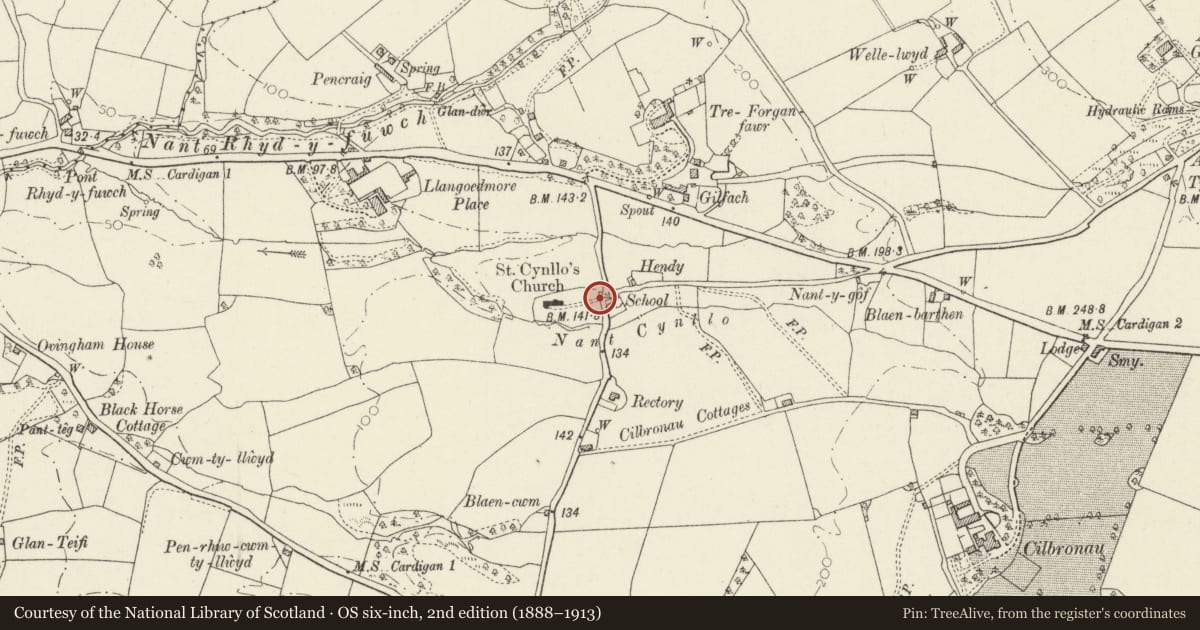
Slide toward Today to fade the historical sheet and see the modern map underneath.
David Rumsey Map Collection, Stanford LibrariesDavid Rumsey Map Collection, Stanford LibrariesDavid Rumsey Map Collection, Stanford LibrariesDavid Rumsey Map Collection, Stanford LibrariesDavid Rumsey Map Collection, Stanford Libraries
5 historical maps cover this location, the earliest the 1608 map "(13) Cambriae Typus." (David Rumsey Map Collection, Stanford Libraries).
Historical maps covering this location
- 1608 · (13) Cambriae Typus. (David Rumsey Map Collection, Stanford Libraries)
- 1637 · Particular description of Wales. Cambria seu Wallia (David Rumsey Map Collection, Stanford Libraries)
- 1830 · V.3:11-15:XV. Britisches Reich. A. Kon: England. b. Frstenthum Wales: Shire: 37-40 (David Rumsey Map Collection, Stanford Libraries)
- 1898 · 193 Cardigan (Hills) (David Rumsey Map Collection, Stanford Libraries)
- 1901 · Sheet 13. (David Rumsey Map Collection, Stanford Libraries)
Cadw's description
Location
Situated at E entry to churchyard
Exterior
Earlier C19 pair of Cilgerran stone piers with pyramid caps and pair of iron gates. Gates have scrolled top rail, dog-bars and band of circles at mid-rail and bottom-rail. To right, four slate-capped stone steps up to slate stile with reset standing stone inscribed 'TG IE GW 1798'.
Reason for designation
Group value with church.
Nearby in the register
- SchoolhouseDomesticunder 1 mi
- The Old SchoolEducationunder 1 mi
- Church of St CynlloReligious, Ritual and Funeraryunder 1 mi
- TreforganDomesticunder 1 mi
Other entries of the same register within about three miles of this one, by straight line.