Cof Cymru: National Historic Assets of Wales · Wales
Cenotaph
Holyhead, Isle of Anglesey, Wales
A Grade II listed building in Holyhead, Isle of Anglesey, designated on 25 July 1994.
The record
- Designation
- Listed building, Grade II
- Broad class
- Commemorative
- Date of designation
- 25 July 1994
- Community
- Holyhead
- Unitary authority
- Isle of Anglesey
- Country
- Wales
- Coordinates
- 53.30864, -4.63294
- Cadw reference
- 14749
Slide toward Today to fade the historical sheet and see the modern map underneath.
David Rumsey Map Collection, Stanford LibrariesDavid Rumsey Map Collection, Stanford LibrariesDavid Rumsey Map Collection, Stanford LibrariesDavid Rumsey Map Collection, Stanford LibrariesDavid Rumsey Map Collection, Stanford Libraries
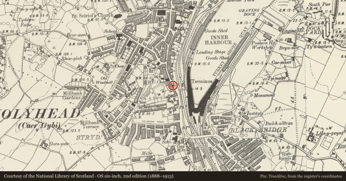
5 historical maps cover this location, the earliest the 1799 map "Ireland." (David Rumsey Map Collection, Stanford Libraries).
Historical maps covering this location
- 1799 · Ireland. (David Rumsey Map Collection, Stanford Libraries)
- 1883 · Watershed map England, Wales 3. (David Rumsey Map Collection, Stanford Libraries)
- 1899 · 93 Holyhead (Hills) (David Rumsey Map Collection, Stanford Libraries)
- 1901 · Sheet 9 and 10. (David Rumsey Map Collection, Stanford Libraries)
- 1919 · Sheet 41. Anglesey. (David Rumsey Map Collection, Stanford Libraries)
Cadw's description
Location
Opposite Victoria Terrace.
History
War memorial in Cornish granite. Unveiled 15 September 1923; by L F Roslyn, following style of Lutyens’ Whitehall Cenotaph but with addition of bronze reliefs.
Exterior
Tomb chest set on tall pylon based on stepped plinth. Tomb chest has inscriptions on broad sides, and bronze wreaths on narrow sides. Below, narrow sides have bronze reliefs of soldier and sailor (signed L F Roslyn 1920); broad sides have bronze sword flanked by bronze plates recording names of fallen in Great War. Added tablets on narrow sides of base record names of fallen in Second World War, and Falklands, 1982; broad sides have Welsh and English inscriptions in bronze lettering.
Nearby in the register
- 3 Victoria TerraceCommercialunder 1 mi
- 4 Victoria TerraceCommercialunder 1 mi
- 2 Victoria TerraceCommercialunder 1 mi
- 5 Victoria TerraceCommercialunder 1 mi
Other entries of the same register within about three miles of this one, by straight line.