Cof Cymru: National Historic Assets of Wales · Wales
Clock Turret in Station Approach
Holyhead, Isle of Anglesey, Wales
A Grade II listed building in Holyhead, Isle of Anglesey, designated on 25 July 1994.
The record
- Designation
- Listed building, Grade II
- Broad class
- Gardens, Parks and Urban Spaces
- Date of designation
- 25 July 1994
- Community
- Holyhead
- Unitary authority
- Isle of Anglesey
- Country
- Wales
- Coordinates
- 53.30735, -4.63121
- Cadw reference
- 14735
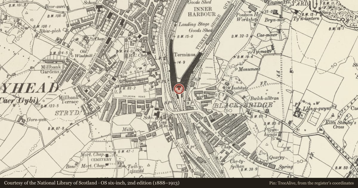
Slide toward Today to fade the historical sheet and see the modern map underneath.
David Rumsey Map Collection, Stanford LibrariesDavid Rumsey Map Collection, Stanford LibrariesDavid Rumsey Map Collection, Stanford LibrariesDavid Rumsey Map Collection, Stanford LibrariesDavid Rumsey Map Collection, Stanford Libraries
5 historical maps cover this location, the earliest the 1799 map "Ireland." (David Rumsey Map Collection, Stanford Libraries).
Historical maps covering this location
- 1799 · Ireland. (David Rumsey Map Collection, Stanford Libraries)
- 1883 · Watershed map England, Wales 3. (David Rumsey Map Collection, Stanford Libraries)
- 1899 · 93 Holyhead (Hills) (David Rumsey Map Collection, Stanford Libraries)
- 1901 · Sheet 9 and 10. (David Rumsey Map Collection, Stanford Libraries)
- 1919 · Sheet 41. Anglesey. (David Rumsey Map Collection, Stanford Libraries)
Cadw's description
Location
In forecourt of entrance to Holyhead station and ferry terminal, reached via incline from main bridge over railway.
History
Iron clock turret unveiled 17 June 1878 by Albert Edward, Prince of Wales to mark completion of old harbour extension; formerly stood approx 50m to N between former Station Hotel and dockside.
Exterior
Each side has clock-face with Roman numerals set in aedicule (clock by Joyce of Whitchurch); ribands below face; this stage surmounted by urn finial set on pyramidal roof. Lower stage has Ionic columns to corners supporting moulded cornice, and plaques with swan-necked pediments, and inscriptions. Panelled plinth; small doorway to S.
Nearby in the register
- Train Shed at Holyhead StationTransportunder 1 mi
- Plas AlltranDomesticunder 1 mi
- 2 Turkey Shore RoadDomesticunder 1 mi
- Tanalltran CottagesDomesticunder 1 mi
Other entries of the same register within about three miles of this one, by straight line.