Cof Cymru: National Historic Assets of Wales · Wales
Glandeg Farmhouse
Willington Worthenbury, Wrexham, Wales
A Grade II listed building in Broughton, Wrexham, Willington Worthenbury, designated on 16 November 1962.
The record
- Designation
- Listed building, Grade II
- Broad class
- Domestic
- Date of designation
- 16 November 1962
- Locality
- Broughton
- Town
- Wrexham
- Community
- Willington Worthenbury
- Unitary authority
- Wrexham
- Country
- Wales
- Coordinates
- 53.01690, -2.84616
- Cadw reference
- 14655
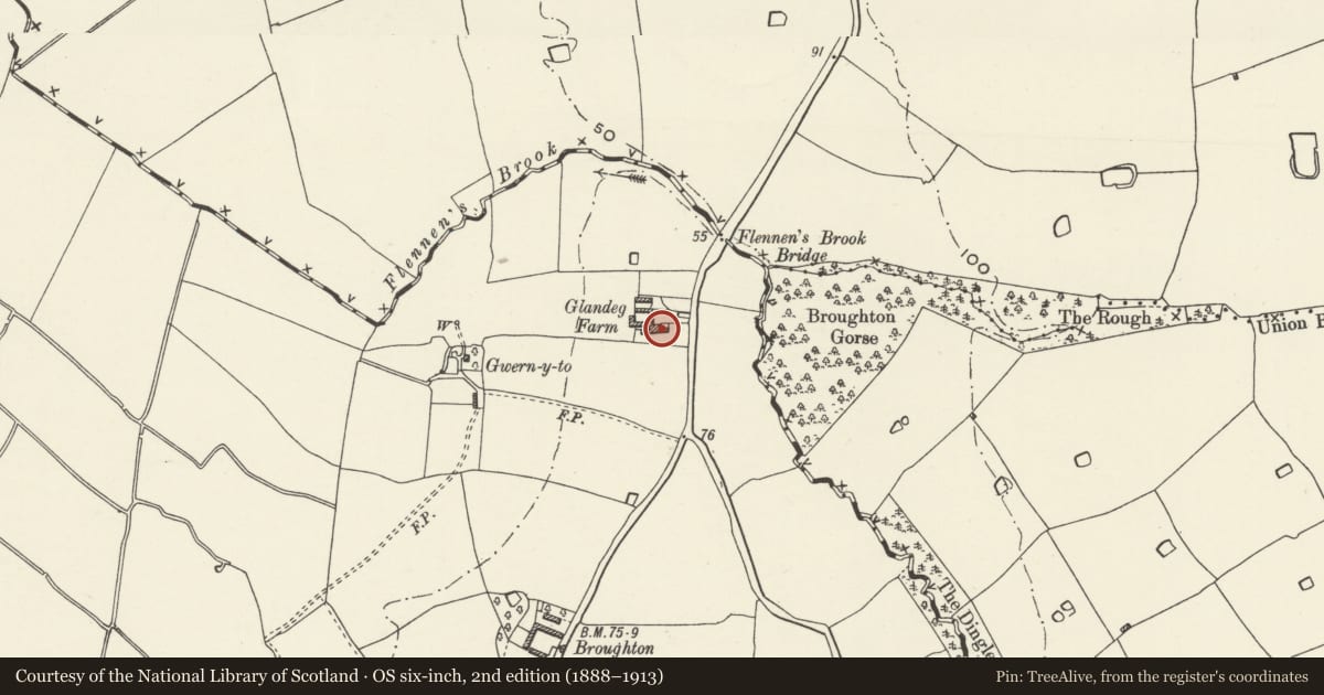
Slide toward Today to fade the historical sheet and see the modern map underneath.
David Rumsey Map Collection, Stanford LibrariesDavid Rumsey Map Collection, Stanford LibrariesDavid Rumsey Map Collection, Stanford LibrariesDavid Rumsey Map Collection, Stanford LibrariesDavid Rumsey Map Collection, Stanford Libraries
5 historical maps cover this location, the earliest the 1637 map "Particular description of Wales. Cambria seu Wallia" (David Rumsey Map Collection, Stanford Libraries).
Historical maps covering this location
- 1637 · Particular description of Wales. Cambria seu Wallia (David Rumsey Map Collection, Stanford Libraries)
- 1861 · 73. Market Drayton. (David Rumsey Map Collection, Stanford Libraries)
- 1883 · Watershed map England, Wales 3. (David Rumsey Map Collection, Stanford Libraries)
- 1897 · 122 Nantwich (Hills) (David Rumsey Map Collection, Stanford Libraries)
- 1901 · Sheet 9 and 10. (David Rumsey Map Collection, Stanford Libraries)
Cadw's description
Location
Located on the west side of a lane running north from the B5069 approximately 3 km after leaving the village of Worthenbury.
History
Largely C19 farmhouse incorporating earlier C17 building.
Exterior
Main elevation of brick (painted to resemble black and white timber frame) is C19 and of six bays with wooden single-storey porch of pegged construction to the centre, and two-storey rear projection of two-bays width. Slate roof with two brick chimney stacks and six dormer windows. Dormers and porch have moulded barge boards with horse-shoe detail to apex and tulip finials. Windows are three-light near-flush casements with glazing bars.
To the east gable end is the exposed heavy square C17 frame with brick nogging and single casement window. Rear elevation continues C17 frame for two bays until C19 rear brick projection. Recent enclosed porch of framed construction to the angle.
Interior
C17 range recorded as containing stopped and bevelled beams, wide inglenook fireplace with heavy wooden lintel.
Reason for designation
Listed for the interest of its surviving C17 timber frame incorporated into late C19 farmhouse.
Nearby in the register
- Broughton Hall LodgeDomesticunder 1 mi
- Frog Lane Cottage (East)Domesticunder 1 mi
- Frog Lane Cottage (West)Domesticunder 1 mi
- Bowling Bank Farmhouse including attached farm range to westDomesticunder 1 mi
Other entries of the same register within about three miles of this one, by straight line.