Cof Cymru: National Historic Assets of Wales · Wales
Pigsty at Hescwm Mill/Felin Hescwm
Dinas Cross, Pembrokeshire, Wales
A Grade II listed building in Aber Hescwm, Dinas Cross, Pembrokeshire, designated on 18 March 1994.
The record
- Designation
- Listed building, Grade II
- Broad class
- Agriculture and Subsistence
- Date of designation
- 18 March 1994
- Locality
- Aber Hescwm
- Community
- Dinas Cross
- Unitary authority
- Pembrokeshire
- Country
- Wales
- Coordinates
- 52.00843, -4.91864
- Cadw reference
- 14538
Slide toward Today to fade the historical sheet and see the modern map underneath.
David Rumsey Map Collection, Stanford LibrariesDavid Rumsey Map Collection, Stanford LibrariesDavid Rumsey Map Collection, Stanford LibrariesDavid Rumsey Map Collection, Stanford LibrariesDavid Rumsey Map Collection, Stanford Libraries
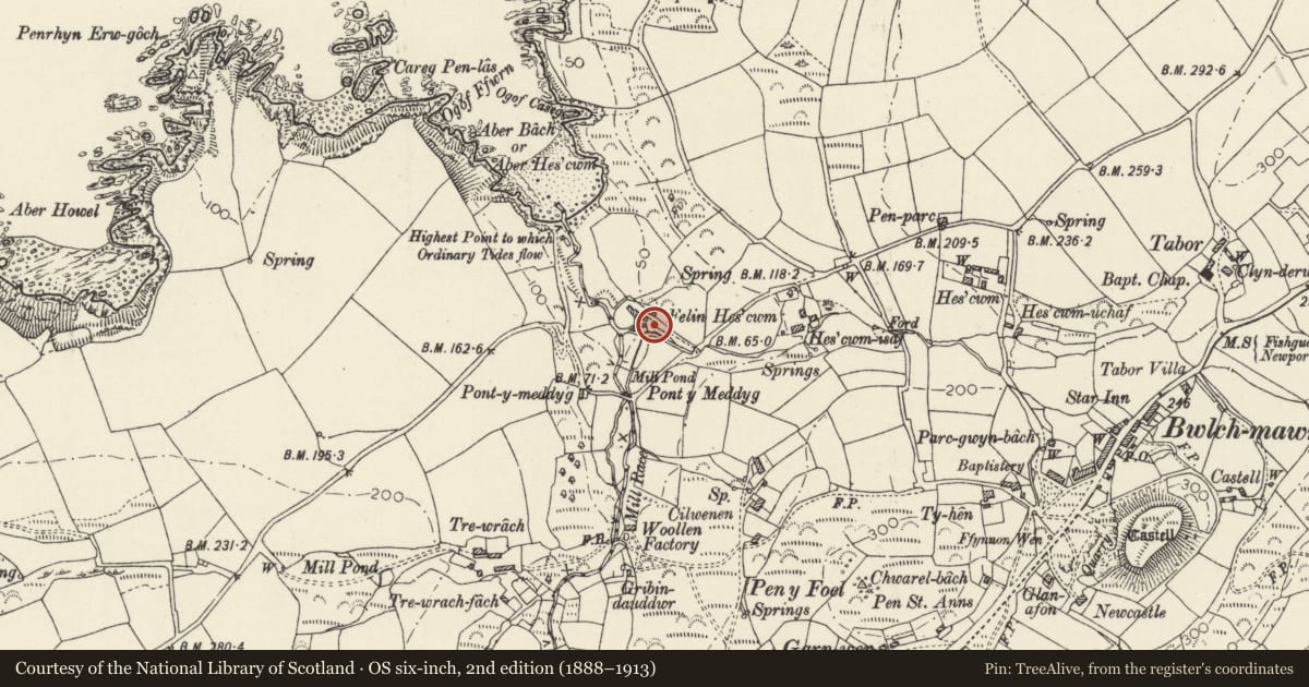
5 historical maps cover this location, the earliest the 1608 map "(13) Cambriae Typus." (David Rumsey Map Collection, Stanford Libraries).
Historical maps covering this location
- 1608 · (13) Cambriae Typus. (David Rumsey Map Collection, Stanford Libraries)
- 1891 · Sheet 10. Ordnance Survey of England and Wales. . (David Rumsey Map Collection, Stanford Libraries)
- 1898 · 210 Cardigan (Hills) (David Rumsey Map Collection, Stanford Libraries)
- 1898 · 210 Cardigan (Outline) (David Rumsey Map Collection, Stanford Libraries)
- 1901 · Sheet 13. (David Rumsey Map Collection, Stanford Libraries)
Cadw's description
Location
Hescwm Mill is remotely sited on the coast at Aber Bach and reached from narrow road west of Dinas Cross. This building lies to the east of the mill.
Exterior
C19 pigsty, possibly contemporary with the 1859 improvements to the water-powered corn mill. Low rubble pigsty with old slate roof and two yards to front with iron gates. Overgrown at time of inspection (December 1993).
Reason for designation
Included for group value as part of the C19 group associated with the Grade II* Hescwm Mill.
Nearby in the register
- Hescwm Mill/Felin HescwmIndustrialunder 1 mi
- Former Stables and Cartshed at Hescwm Mill/Felin HescwmDomesticunder 1 mi
- Hescwm Mill HouseIndustrialunder 1 mi
- GreystonesCommercialunder 1 mi
Other entries of the same register within about three miles of this one, by straight line.