Cof Cymru: National Historic Assets of Wales · Wales
Gatepiers, Gates and Railings at Glandovan Lodge
Cilgerran, Pembrokeshire, Wales
A Grade II listed building in Glandovan, Cilgerran, Pembrokeshire, designated on 15 April 1994.
The record
- Designation
- Listed building, Grade II
- Broad class
- Domestic
- Date of designation
- 15 April 1994
- Locality
- Glandovan
- Community
- Cilgerran
- Unitary authority
- Pembrokeshire
- Country
- Wales
- Coordinates
- 52.04276, -4.63123
- Cadw reference
- 14516
Slide toward Today to fade the historical sheet and see the modern map underneath.
David Rumsey Map Collection, Stanford LibrariesDavid Rumsey Map Collection, Stanford LibrariesDavid Rumsey Map Collection, Stanford LibrariesDavid Rumsey Map Collection, Stanford LibrariesDavid Rumsey Map Collection, Stanford Libraries
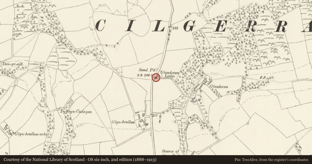
5 historical maps cover this location, the earliest the 1608 map "(13) Cambriae Typus." (David Rumsey Map Collection, Stanford Libraries).
Historical maps covering this location
- 1608 · (13) Cambriae Typus. (David Rumsey Map Collection, Stanford Libraries)
- 1830 · V.3:11-15:XV. Britisches Reich. A. Kon: England. b. Frstenthum Wales: Shire: 37-40 (David Rumsey Map Collection, Stanford Libraries)
- 1891 · Sheet 10. Ordnance Survey of England and Wales. . (David Rumsey Map Collection, Stanford Libraries)
- 1898 · 193 Cardigan (Hills) (David Rumsey Map Collection, Stanford Libraries)
- 1901 · Sheet 13. (David Rumsey Map Collection, Stanford Libraries)
Cadw's description
Location
Situated on E side of Cilgerran-Rhos Hill road, by Glandovan Lodge.
History
Built presumably with the lodge for the Gower family of Glandovan.
Exterior
Earlier C19 formal entry to Glandovan, with four Cilgerran stone rusticated gatepiers, each with fluted friezes, pyramid caps and cast-iron urns. Double main gates similar to those to stable court at Glandovan, with top-rails ramped down to centre, scrolled spearheads and curved strengthening bars. Pedestrian gate each side has down-curved top-rail and Y-outline strengthening bars. To each side, a low serpentine stone wall with slate coping and spearhead iron rails, the N wall terminated at a slender rusticated stone pier.
Nearby in the register
- Glandovan LodgeDomesticunder 1 mi
- Outbuilding on N Side of Stable Court at GlandovanDomesticunder 1 mi
- Attached Wall with GatepiersDomesticunder 1 mi
- Outbuilding on S Side of stable court at GlandovanDomesticunder 1 mi
Other entries of the same register within about three miles of this one, by straight line.