Cof Cymru: National Historic Assets of Wales · Wales
Jackson Hall
Castle, Cardiff, Wales
A Grade II listed building in Castle, Cardiff, designated on 19 May 1975.
The record
- Designation
- Listed building, Grade II
- Broad class
- Recreational
- Date of designation
- 19 May 1975
- Community
- Castle
- Unitary authority
- Cardiff
- Country
- Wales
- Coordinates
- 51.47920, -3.18075
- Cadw reference
- 13827
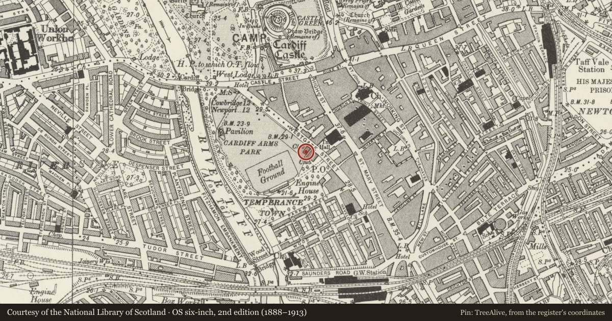
Slide toward Today to fade the historical sheet and see the modern map underneath.
David Rumsey Map Collection, Stanford LibrariesDavid Rumsey Map Collection, Stanford LibrariesDavid Rumsey Map Collection, Stanford LibrariesDavid Rumsey Map Collection, Stanford LibrariesDavid Rumsey Map Collection, Stanford Libraries
5 historical maps cover this location, the earliest the 1636 map "Cornubia : Devonia, Somersetus, Dorcestria, Wiltonia, Glocestria ..." (David Rumsey Map Collection, Stanford Libraries).
Historical maps covering this location
- 1636 · Cornubia : Devonia, Somersetus, Dorcestria, Wiltonia, Glocestria ... (David Rumsey Map Collection, Stanford Libraries)
- 1865 · England and Wales. England No. 6. (David Rumsey Map Collection, Stanford Libraries)
- 1895 · Sheet 11. Ordnance Survey of England and Wales. (David Rumsey Map Collection, Stanford Libraries)
- 1898 · 263 Cardiff (Hills) (David Rumsey Map Collection, Stanford Libraries)
- 1913 · Sheet 110. Cardiff & Mouth of the Severn. (David Rumsey Map Collection, Stanford Libraries)
Cadw's description
Location
To NW of County Club.
History
1878; by George Robinson. Formerly used for racquets, fives and lawn tennis and known as Racquets Hall. Perhaps shows influence of Pritchard, egThe Rest, Porthcawl.
Exterior
Pressed red brick with blue brick banding and some bathstone dressings. Broad chalet roof with, at top level, modern glazing set back behind screen formed by brick pier and 2 broad wooden arched; brick balustrade. Below this, four arches with sexfoil windows in heads; on ground floor, doorway in L arch, paired sash windows in others. To R, lower block with roof slope facing street; 3 lancets to first floor, 2 Gothic arches to ground floor, boarded door in L arch, window in R. Plain L elevation with struts to eaves, and blocked windows.
Reason for designation
Striking piece of High Victorian Gothic polychromy.
Nearby in the register
- Former County ClubRecreationalunder 1 mi
- County Court OfficesCivilunder 1 mi
- The Queen's & Royal GarageCommercialunder 1 mi
- Glamorgan Staff ClubRecreationalunder 1 mi
Other entries of the same register within about three miles of this one, by straight line.