Cof Cymru: National Historic Assets of Wales · Wales
Clergy House of the Church of St German of Auxerre
Adamsdown, Cardiff, Wales
A Grade II listed building in Adamsdown, Cardiff, designated on 19 May 1975.
The record
- Designation
- Listed building, Grade II
- Broad class
- Domestic
- Date of designation
- 19 May 1975
- Community
- Adamsdown
- Unitary authority
- Cardiff
- Country
- Wales
- Coordinates
- 51.48438, -3.15921
- Cadw reference
- 13755
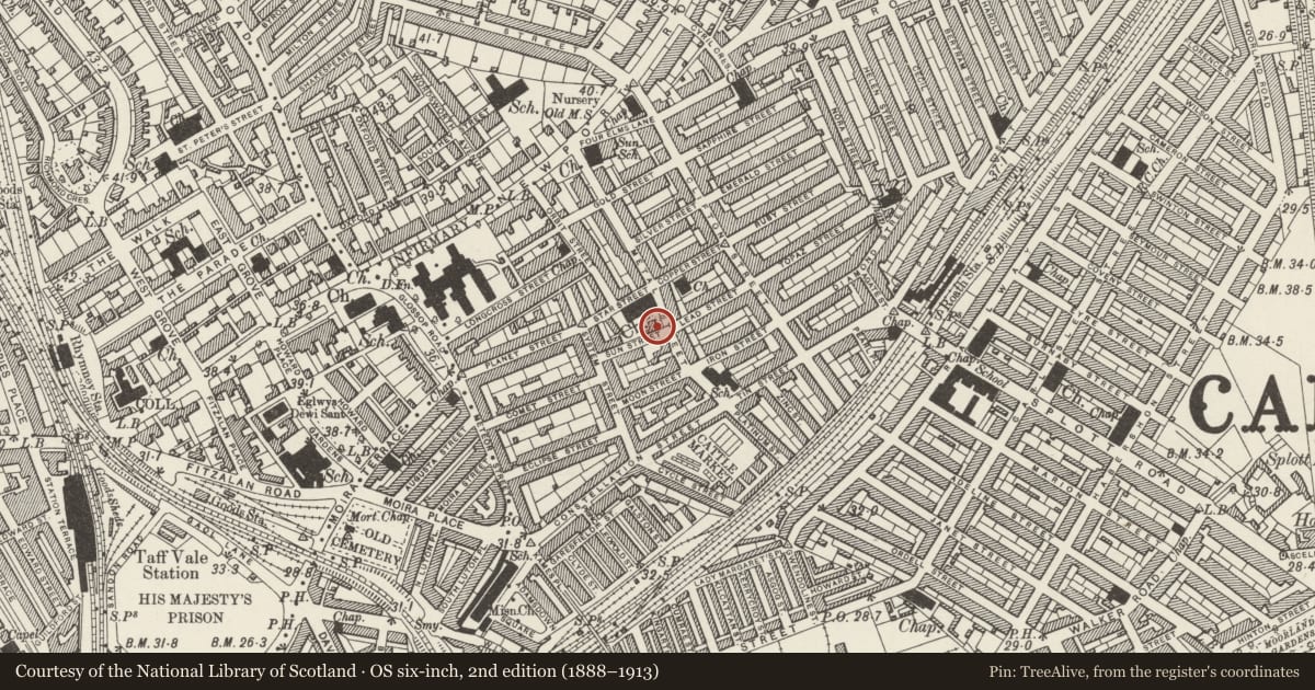
Slide toward Today to fade the historical sheet and see the modern map underneath.
David Rumsey Map Collection, Stanford LibrariesDavid Rumsey Map Collection, Stanford LibrariesDavid Rumsey Map Collection, Stanford LibrariesDavid Rumsey Map Collection, Stanford LibrariesDavid Rumsey Map Collection, Stanford Libraries
5 historical maps cover this location, the earliest the 1636 map "Cornubia : Devonia, Somersetus, Dorcestria, Wiltonia, Glocestria ..." (David Rumsey Map Collection, Stanford Libraries).
Historical maps covering this location
- 1636 · Cornubia : Devonia, Somersetus, Dorcestria, Wiltonia, Glocestria ... (David Rumsey Map Collection, Stanford Libraries)
- 1865 · England and Wales. England No. 6. (David Rumsey Map Collection, Stanford Libraries)
- 1895 · Sheet 11. Ordnance Survey of England and Wales. (David Rumsey Map Collection, Stanford Libraries)
- 1898 · 263 Cardiff (Hills) (David Rumsey Map Collection, Stanford Libraries)
- 1913 · Sheet 110. Cardiff & Mouth of the Severn. (David Rumsey Map Collection, Stanford Libraries)
Cadw's description
Location
To S of St German's Church, on corner of Metal Street and Sun Street.
History
1893-94, by G F Bodley, architect, of London.
Exterior
House, 2 storeys, grey-pink Swelldon stone with bathstone dressings, slate roof, stone chimneys; double-pile plan. Facing Metal Street, 5 window asymmetrical front with slightly advanced entrance bay which runs up as gable, first floor window with 2 ogee lights; 4-mullioned overlight to ogee-headed doorway with hoodmould. To R of entrance, first floor has two 3-light windows at eaves, ground floor has 3-light mullion and transom window and 3-light Gothic window with cusped tracery; to L of entrance, first floor has window as R, ground floor has two 2-light mullion and transom windows with ogee heads. Facing Sun Street, gable end has first floor window of 3 cusped lights, and similar 2-light first floor window, to L, cross range has 2 first floor and 3 ground floor windows; single-storey block to L, 4-light mullion and transom window to gable above. Rear of house has three-2-storey gabled bays, R of these has 4-light mullion and transom stair window; others (rendered gables) have 3-light windows (glazed splays) to each floor.
Reason for designation
Listed as good unaltered example of clergy house by this important architect. Group value with church and former school.
Nearby in the register
- Church of St German of AuxerreReligious, Ritual and Funeraryunder 1 mi
- St German's CourtDomesticunder 1 mi
- 64 Newport RoadCommercialunder 1 mi
- Cardiff Royal Infirmary (including forecourt wall and gatepiers)Health and Welfareunder 1 mi
Other entries of the same register within about three miles of this one, by straight line.