Cof Cymru: National Historic Assets of Wales · Wales
Pillar Box outside the Post Office
Penarth, Vale of Glamorgan, Wales
A Grade II listed building in Penarth, Vale of Glamorgan, designated on 19 November 1990.
The record
- Designation
- Listed building, Grade II
- Broad class
- Communications
- Date of designation
- 19 November 1990
- Community
- Penarth
- Unitary authority
- Vale of Glamorgan
- Country
- Wales
- Coordinates
- 51.43936, -3.17318
- Cadw reference
- 13336
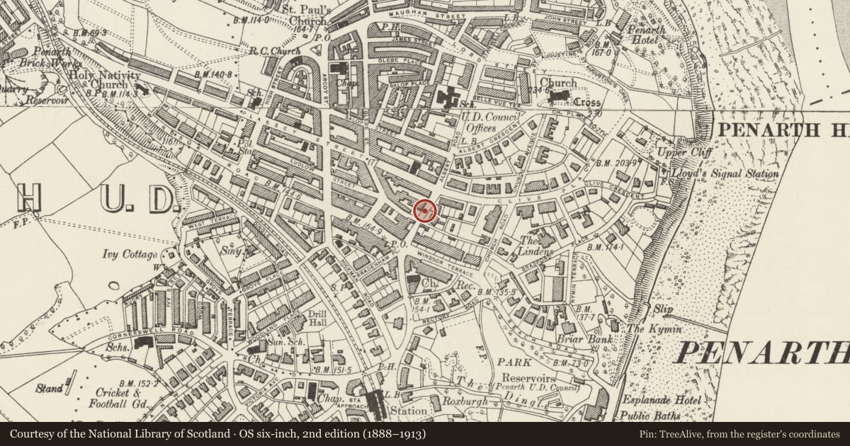
Slide toward Today to fade the historical sheet and see the modern map underneath.
David Rumsey Map Collection, Stanford LibrariesDavid Rumsey Map Collection, Stanford LibrariesDavid Rumsey Map Collection, Stanford LibrariesDavid Rumsey Map Collection, Stanford LibrariesDavid Rumsey Map Collection, Stanford Libraries
5 historical maps cover this location, the earliest the 1636 map "Cornubia : Devonia, Somersetus, Dorcestria, Wiltonia, Glocestria ..." (David Rumsey Map Collection, Stanford Libraries).
Historical maps covering this location
- 1636 · Cornubia : Devonia, Somersetus, Dorcestria, Wiltonia, Glocestria ... (David Rumsey Map Collection, Stanford Libraries)
- 1637 · The fourth table of England. Cornub. Devonia, Somerset etc. (David Rumsey Map Collection, Stanford Libraries)
- 1865 · England and Wales. England No. 6. (David Rumsey Map Collection, Stanford Libraries)
- 1898 · 263 Cardiff (Hills) (David Rumsey Map Collection, Stanford Libraries)
- 1913 · Sheet 110. Cardiff & Mouth of the Severn. (David Rumsey Map Collection, Stanford Libraries)
Cadw's description
Location
On the pavement outside the Post Office, uphill from the main entrance.
History
This example manufactured by Carron and Company, Stirlingshire.
Exterior
Circular cast-iron red letter-box of standard design. Fluted rim to shallow domed cap; crowned 'E II R' monogram to door.
Reason for designation
Included for group value with the Post Office.
Nearby in the register
- Post OfficeCommunicationsunder 1 mi
- Windsor Arcade BuildingCommercialunder 1 mi
- Lloyd's BankCommercialunder 1 mi
- Telephone Call-box at the corner with Church AvenueCommunicationsunder 1 mi
Other entries of the same register within about three miles of this one, by straight line.