Cof Cymru: National Historic Assets of Wales · Wales
22 High Street
Cowbridge with Llanblethian, Vale of Glamorgan, Wales
A Grade II listed building in Cowbridge, Cowbridge with Llanblethian, Vale of Glamorgan, designated on 3 February 1981.
The record
- Designation
- Listed building, Grade II
- Broad class
- Commercial
- Date of designation
- 3 February 1981
- Locality
- Cowbridge
- Community
- Cowbridge with Llanblethian
- Unitary authority
- Vale of Glamorgan
- Country
- Wales
- Coordinates
- 51.46174, -3.44786
- Cadw reference
- 13218
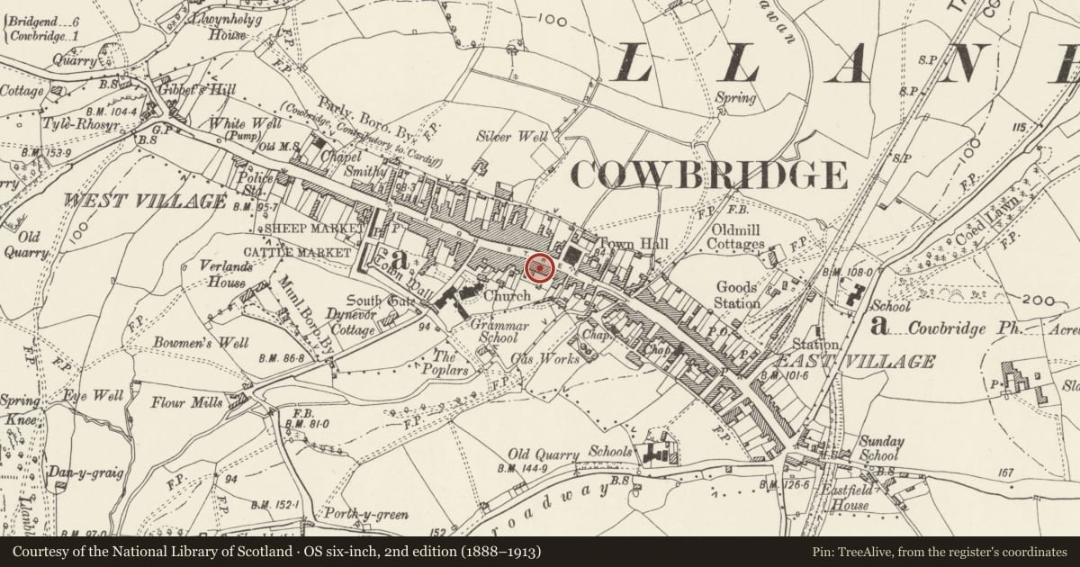
Slide toward Today to fade the historical sheet and see the modern map underneath.
David Rumsey Map Collection, Stanford LibrariesDavid Rumsey Map Collection, Stanford LibrariesDavid Rumsey Map Collection, Stanford LibrariesDavid Rumsey Map Collection, Stanford LibrariesDavid Rumsey Map Collection, Stanford Libraries
5 historical maps cover this location, the earliest the 1636 map "Cornubia : Devonia, Somersetus, Dorcestria, Wiltonia, Glocestria ..." (David Rumsey Map Collection, Stanford Libraries).
Historical maps covering this location
- 1636 · Cornubia : Devonia, Somersetus, Dorcestria, Wiltonia, Glocestria ... (David Rumsey Map Collection, Stanford Libraries)
- 1637 · The fourth table of England. Cornub. Devonia, Somerset etc. (David Rumsey Map Collection, Stanford Libraries)
- 1865 · England and Wales. England No. 6. (David Rumsey Map Collection, Stanford Libraries)
- 1897 · 262 Pontypridd (Hills) (David Rumsey Map Collection, Stanford Libraries)
- 1897 · 262 Pontypridd (Outline) (David Rumsey Map Collection, Stanford Libraries)
Cadw's description
Location
Part of long 2-storey row between the higher Nos 16 and 30 High Street.
History
Probably early C19.
Exterior
Two storeys. Slate roof with common roofline. Two window roughcast facade. C20 shop front on ground floor. Two 12-pane sash windows on first floor.
Reason for designation
Included as part of a group of similar early C19 buildings in High Street.
Nearby in the register
- 20 High StreetDomesticunder 1 mi
- 26Commercialunder 1 mi
- Principality Building SocietyCommercialunder 1 mi
- 18 High StreetCommercialunder 1 mi
Other entries of the same register within about three miles of this one, by straight line.