Cof Cymru: National Historic Assets of Wales · Wales
East House
Cowbridge with Llanblethian, Vale of Glamorgan, Wales
A Grade II listed building in Cowbridge, Cowbridge with Llanblethian, Vale of Glamorgan, designated on 3 February 1981.
The record
- Designation
- Listed building, Grade II
- Broad class
- Domestic
- Date of designation
- 3 February 1981
- Locality
- Cowbridge
- Community
- Cowbridge with Llanblethian
- Unitary authority
- Vale of Glamorgan
- Country
- Wales
- Coordinates
- 51.45958, -3.44267
- Cadw reference
- 13191
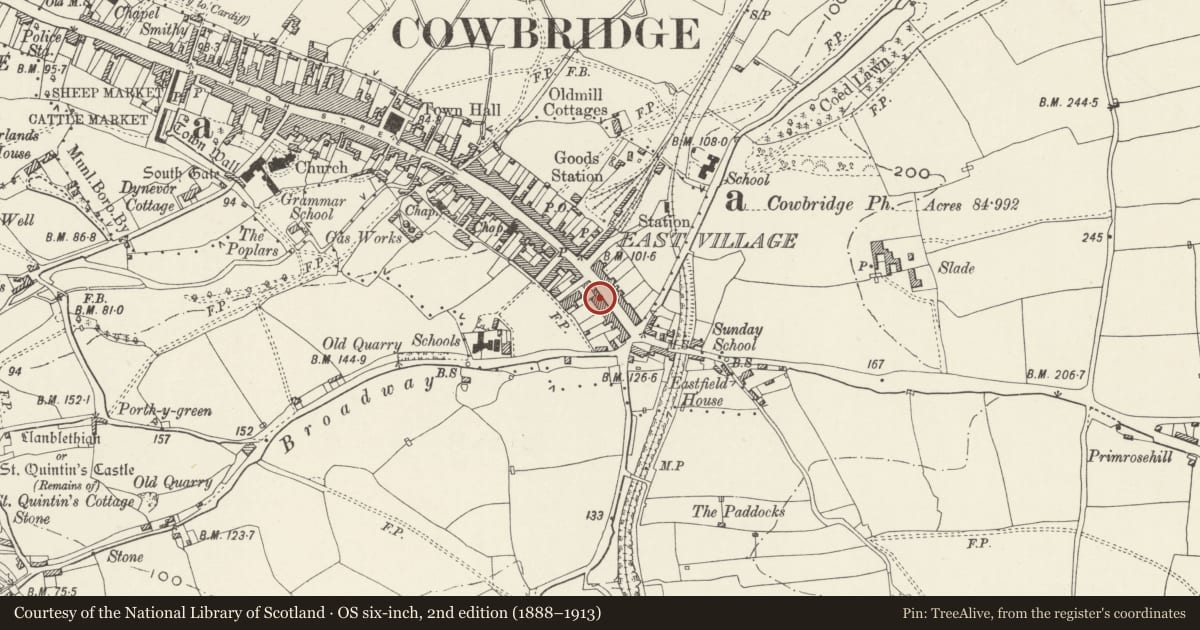
Slide toward Today to fade the historical sheet and see the modern map underneath.
David Rumsey Map Collection, Stanford LibrariesDavid Rumsey Map Collection, Stanford LibrariesDavid Rumsey Map Collection, Stanford LibrariesDavid Rumsey Map Collection, Stanford LibrariesDavid Rumsey Map Collection, Stanford Libraries
5 historical maps cover this location, the earliest the 1636 map "Cornubia : Devonia, Somersetus, Dorcestria, Wiltonia, Glocestria ..." (David Rumsey Map Collection, Stanford Libraries).
Historical maps covering this location
- 1636 · Cornubia : Devonia, Somersetus, Dorcestria, Wiltonia, Glocestria ... (David Rumsey Map Collection, Stanford Libraries)
- 1637 · The fourth table of England. Cornub. Devonia, Somerset etc. (David Rumsey Map Collection, Stanford Libraries)
- 1865 · England and Wales. England No. 6. (David Rumsey Map Collection, Stanford Libraries)
- 1897 · 262 Pontypridd (Hills) (David Rumsey Map Collection, Stanford Libraries)
- 1897 · 262 Pontypridd (Outline) (David Rumsey Map Collection, Stanford Libraries)
Cadw's description
Location
About 40m SE of junction with Croft Terrace.
History
Early C19 facade to late C16/early C17 core. Renovated 1978.
Exterior
Two storeys. Three bay front elevation with rendered upper floor, and exposed stone ground floor; slate roof with red and yellow brick C19 stacks. On ground floor, a canted bay window with castellated capping and sash lights to each side of central round headed doorway with open pediment on pilasters with plain fanlight and six-panelled door. On first floor, three sash windows with marginal bars.
Interior
Inside, NW ground floor fireplace with adjoining staircase to south; enriched staircase doorway.
Reason for designation
Included as structure retaining features of C16/C17 direct entry house behind C19 modernisation.
Nearby in the register
- Telephone Call-box Beside Eastgate MewsCommunicationsunder 1 mi
- 49 EastgateDomesticunder 1 mi
- Ancient DruidDomesticunder 1 mi
- Telephone Call-box Outside Royal Mail Delivery OfficeCommunicationsunder 1 mi
Other entries of the same register within about three miles of this one, by straight line.