Cof Cymru: National Historic Assets of Wales · Wales
Bier House in Churchyard at St Nicholas Church
Nevern, Pembrokeshire, Wales
A Grade II listed building in Nevern, Pembrokeshire, designated on 27 October 1992.
The record
- Designation
- Listed building, Grade II
- Broad class
- Religious, Ritual and Funerary
- Date of designation
- 27 October 1992
- Community
- Nevern
- Unitary authority
- Pembrokeshire
- Country
- Wales
- Coordinates
- 52.06101, -4.72141
- Cadw reference
- 12782
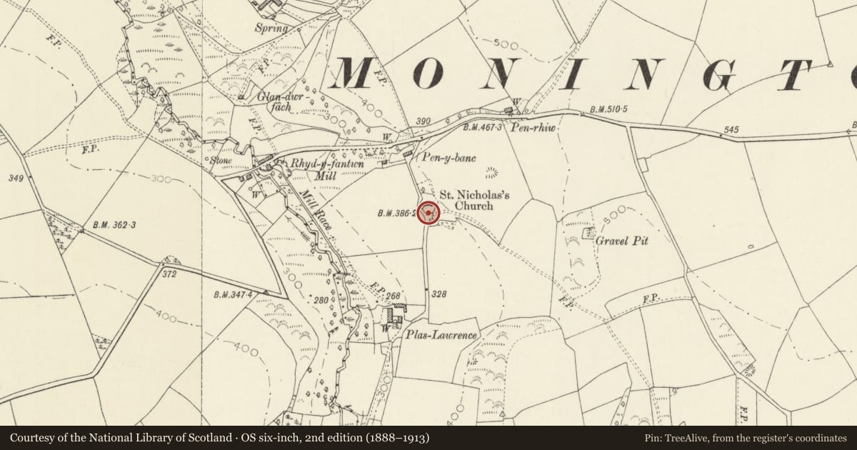
Slide toward Today to fade the historical sheet and see the modern map underneath.
David Rumsey Map Collection, Stanford LibrariesDavid Rumsey Map Collection, Stanford LibrariesDavid Rumsey Map Collection, Stanford LibrariesDavid Rumsey Map Collection, Stanford LibrariesDavid Rumsey Map Collection, Stanford Libraries
5 historical maps cover this location, the earliest the 1608 map "(13) Cambriae Typus." (David Rumsey Map Collection, Stanford Libraries).
Historical maps covering this location
- 1608 · (13) Cambriae Typus. (David Rumsey Map Collection, Stanford Libraries)
- 1636 · Cornubia : Devonia, Somersetus, Dorcestria, Wiltonia, Glocestria ... (David Rumsey Map Collection, Stanford Libraries)
- 1637 · Particular description of Wales. Cambria seu Wallia (David Rumsey Map Collection, Stanford Libraries)
- 1898 · 193 Cardigan (Hills) (David Rumsey Map Collection, Stanford Libraries)
- 1901 · Sheet 13. (David Rumsey Map Collection, Stanford Libraries)
Cadw's description
Location
Situated immediately S of churchyard wall, gable end to lane.
Exterior
Probably early C19 bier house in rubble stone, squared with tooled corner stones and grouted slate roof. W door with stone voussoirs. Three bay roof with pegged trusses.
Reason for designation
Included for group value with church and as good survivor of a rare building type. In 1991 it contained a pine bier dated 1796.
Nearby in the register
- Church of St NicholasReligious, Ritual and Funeraryunder 1 mi
- Plas Lawrence, including two Bee boles in front of Garden WallDomesticunder 1 mi
- Rhydyfantwn BachDomesticunder 1 mi
- Glandwr, including attached outbuildingDomesticunder 1 mi
Other entries of the same register within about three miles of this one, by straight line.