Cof Cymru: National Historic Assets of Wales · Wales
Former Coache House at Vivod
Llangollen, Denbighshire, Wales
A Grade II listed building in Vivod, Llangollen, Denbighshire, designated on 22 December 1989.
The record
- Designation
- Listed building, Grade II
- Broad class
- Domestic
- Date of designation
- 22 December 1989
- Locality
- Vivod
- Community
- Llangollen
- Unitary authority
- Denbighshire
- Country
- Wales
- Coordinates
- 52.97228, -3.20674
- Cadw reference
- 1275
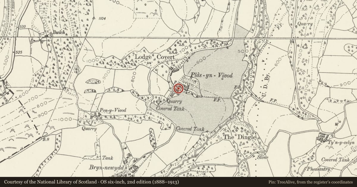
Slide toward Today to fade the historical sheet and see the modern map underneath.
David Rumsey Map Collection, Stanford LibrariesDavid Rumsey Map Collection, Stanford LibrariesDavid Rumsey Map Collection, Stanford LibrariesDavid Rumsey Map Collection, Stanford LibrariesLlyfrgell Genedlaethol Cymru – The National Library of Wales
5 historical maps cover this location, the earliest the 1795 map "To Sir Watkin Williams-Wynn Bart ... the map of the six counties of North Wales is most humbly inscribed by his obedient humble servant" (Llyfrgell Genedlaethol Cymru – The National Library of Wales).
Historical maps covering this location
- 1795 · To Sir Watkin Williams-Wynn Bart ... the map of the six counties of North Wales is most… (Llyfrgell Genedlaethol Cymru – The National Library of Wales)
- 1883 · Watershed map England, Wales 3. (David Rumsey Map Collection, Stanford Libraries)
- 1898 · 121 Wrexham (Hills) (David Rumsey Map Collection, Stanford Libraries)
- 1898 · 121 Wrexham (Outline) (David Rumsey Map Collection, Stanford Libraries)
- 1901 · Sheet 9 and 10. (David Rumsey Map Collection, Stanford Libraries)
Cadw's description
Location
Above the SW side of the main drive to Vivod house; overlooking the stable courtyard to SW.
History
Probably relates to the 1871 remodelling of the house; shown on 1st edition OS map.
Exterior
Rubble with slate roof and central square bellcote/clocktower with weathervane; pyramidal roof and cusped openwork belfry; clockfaces to N and S sides. The 5-window side facing the drive has 3-light windows with cambered red brick relieving arches; brace plates. The courtyard side has a gabled hoist cover, 9-pane window below to the left; modern garage doors and other openings. The gable ends have lower and narrower gabled extensions.
Reason for designation
Group value with Vivod and two listed lodges.
Nearby in the register
- VivodDomesticunder 1 mi
- Lodge to NW side of Main Drive to VivodDomesticunder 1 mi
- The LodgeDomesticunder 1 mi
- Home Farm FarmhouseDomesticunder 1 mi
Other entries of the same register within about three miles of this one, by straight line.