Cof Cymru: National Historic Assets of Wales · Wales
Outbuilding with attached Horse Engine House in Farmyard to NE of Crug-Glas
St. David's and the Cathedral Close, Pembrokeshire, Wales
A Grade II listed building in Carnhedryn, St. David's and the Cathedral Close, Pembrokeshire, designated on 28 July 1992.
The record
- Designation
- Listed building, Grade II
- Broad class
- Agriculture and Subsistence
- Date of designation
- 28 July 1992
- Locality
- Carnhedryn
- Community
- St. David's and the Cathedral Close
- Unitary authority
- Pembrokeshire
- Country
- Wales
- Coordinates
- 51.91912, -5.18566
- Cadw reference
- 12672
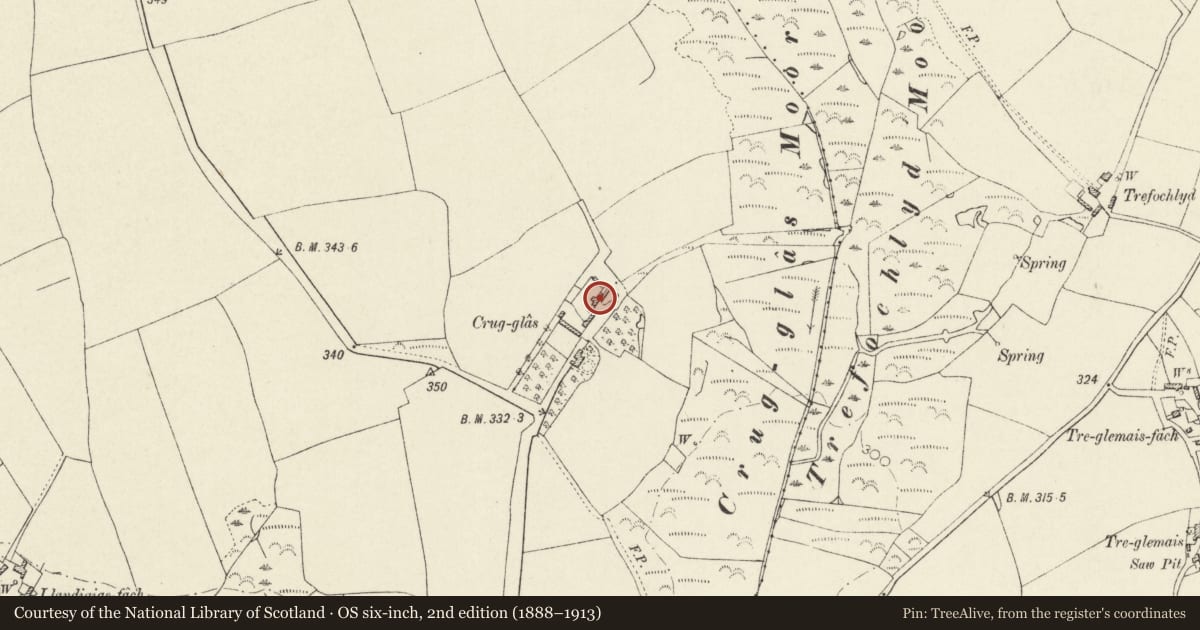
Slide toward Today to fade the historical sheet and see the modern map underneath.
David Rumsey Map Collection, Stanford LibrariesDavid Rumsey Map Collection, Stanford LibrariesDavid Rumsey Map Collection, Stanford LibrariesDavid Rumsey Map Collection, Stanford LibrariesDavid Rumsey Map Collection, Stanford Libraries
5 historical maps cover this location, the earliest the 1608 map "(13) Cambriae Typus." (David Rumsey Map Collection, Stanford Libraries).
Historical maps covering this location
- 1608 · (13) Cambriae Typus. (David Rumsey Map Collection, Stanford Libraries)
- 1636 · Cornubia : Devonia, Somersetus, Dorcestria, Wiltonia, Glocestria ... (David Rumsey Map Collection, Stanford Libraries)
- 1637 · Particular description of Wales. Cambria seu Wallia (David Rumsey Map Collection, Stanford Libraries)
- 1898 · 209 St David's (Hills) (David Rumsey Map Collection, Stanford Libraries)
- 1901 · Sheet 13. (David Rumsey Map Collection, Stanford Libraries)
Cadw's description
Location
Situated on northern side of through-way that divides farm buildings at Crug-glas, the last in the range of stone buildings, some 120m NE of house.
History
Outbuilding is marked on 1840 Tithe Map but not horse-engine shed.
One of only two such buildings in St David's parish, the other at Trelewyd part demolished. Crug-glas was seat of the Harries family from ca1650 to ca1900.
Exterior
Early C19 single storey rubble stone barn with grouted slate roof patched in corrugated iron. Front wall door with cambered brick head to left of centre, and window to left. N end loft window. 9-bay collar-truss roof. To rear and added later in C19 is rare example of horse-engine house; five-sided in rubble stone with grouted slate roof, the three sides facing the rear yard were formerly open with round stone piers, two sides infilled with stone, one in corrugated iron. One massive timber centre beam with kingpost and some remnant of iron shaft through to barn.
Nearby in the register
- Llandidgige FachDomesticunder 1 mi
- Treglemais FawrDomesticunder 1 mi
- Outbuilding attached at SW.Angle to walled garden at TrevacoonDomesticunder 1 mi
- Walls to walled garden at TrevacoonDomesticunder 1 mi
Other entries of the same register within about three miles of this one, by straight line.