Cof Cymru: National Historic Assets of Wales · Wales
Hamilton House
St. David's and the Cathedral Close, Pembrokeshire, Wales
A Grade II listed building in Caerfarchell, St. David's and the Cathedral Close, Pembrokeshire, designated on 28 July 1992.
The record
- Designation
- Listed building, Grade II
- Broad class
- Domestic
- Date of designation
- 28 July 1992
- Locality
- Caerfarchell
- Community
- St. David's and the Cathedral Close
- Unitary authority
- Pembrokeshire
- Country
- Wales
- Coordinates
- 51.89821, -5.20689
- Cadw reference
- 12667
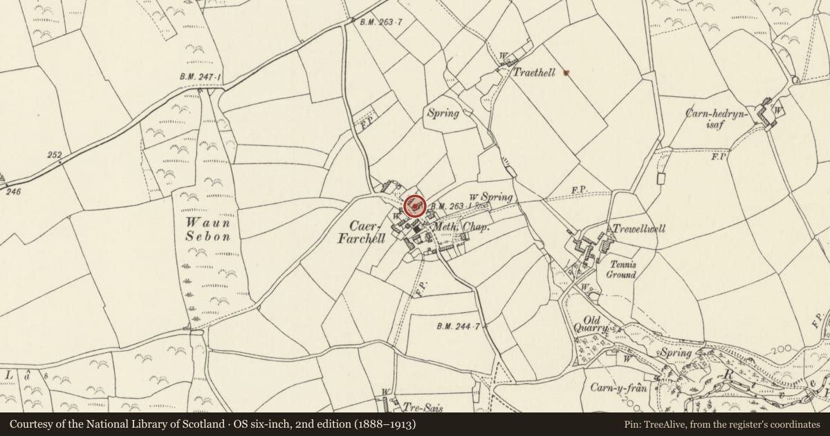
Slide toward Today to fade the historical sheet and see the modern map underneath.
David Rumsey Map Collection, Stanford LibrariesDavid Rumsey Map Collection, Stanford LibrariesDavid Rumsey Map Collection, Stanford LibrariesDavid Rumsey Map Collection, Stanford LibrariesDavid Rumsey Map Collection, Stanford Libraries
5 historical maps cover this location, the earliest the 1608 map "(13) Cambriae Typus." (David Rumsey Map Collection, Stanford Libraries).
Historical maps covering this location
- 1608 · (13) Cambriae Typus. (David Rumsey Map Collection, Stanford Libraries)
- 1636 · Cornubia : Devonia, Somersetus, Dorcestria, Wiltonia, Glocestria ... (David Rumsey Map Collection, Stanford Libraries)
- 1637 · Particular description of Wales. Cambria seu Wallia (David Rumsey Map Collection, Stanford Libraries)
- 1898 · 209 St David's (Hills) (David Rumsey Map Collection, Stanford Libraries)
- 1901 · Sheet 13. (David Rumsey Map Collection, Stanford Libraries)
Cadw's description
Location
Situated on eastern side of northern approach to village some 60m NE of chapel.
Exterior
Early C19 farmhouse in rubble stone with imitation slate roof and rubble stone end stacks. Two storey three-window front of small sashes with marginal glazing bars. Centre door in glazed timber and stone porch. Cambered brick heads to ground floor openings. Rendered end walls and outshut rear part built up in C20. Lean-to pig-sty on E end.
Nearby in the register
- Outbuilding to E. of Hamilton HouseDomesticunder 1 mi
- Range of outbuildings to rear of Hamilton HouseDomesticunder 1 mi
- The Manse, including Pigsty attached at N.EndDomesticunder 1 mi
- Outbuilding to rear of Caerfarchell FarmhouseAgriculture and Subsistenceunder 1 mi
Other entries of the same register within about three miles of this one, by straight line.