Cof Cymru: National Historic Assets of Wales · Wales
No.1 Cathedral Villas
St. David's and the Cathedral Close, Pembrokeshire, Wales
A Grade II listed building in St. David's and the Cathedral Close, Pembrokeshire, designated on 26 August 1981.
The record
- Designation
- Listed building, Grade II
- Broad class
- Domestic
- Date of designation
- 26 August 1981
- Community
- St. David's and the Cathedral Close
- Unitary authority
- Pembrokeshire
- Country
- Wales
- Coordinates
- 51.88160, -5.26586
- Cadw reference
- 12636
Slide toward Today to fade the historical sheet and see the modern map underneath.
David Rumsey Map Collection, Stanford LibrariesDavid Rumsey Map Collection, Stanford LibrariesDavid Rumsey Map Collection, Stanford LibrariesDavid Rumsey Map Collection, Stanford LibrariesDavid Rumsey Map Collection, Stanford Libraries
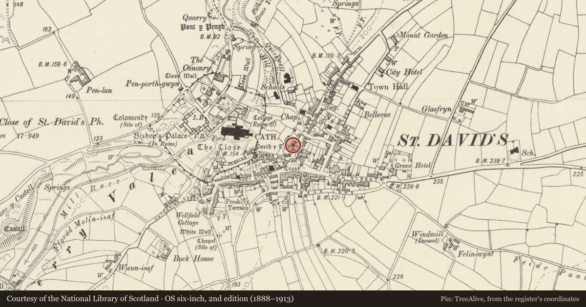
5 historical maps cover this location, the earliest the 1608 map "(13) Cambriae Typus." (David Rumsey Map Collection, Stanford Libraries).
Historical maps covering this location
- 1608 · (13) Cambriae Typus. (David Rumsey Map Collection, Stanford Libraries)
- 1636 · Cornubia : Devonia, Somersetus, Dorcestria, Wiltonia, Glocestria ... (David Rumsey Map Collection, Stanford Libraries)
- 1637 · Particular description of Wales. Cambria seu Wallia (David Rumsey Map Collection, Stanford Libraries)
- 1898 · 209 St David's (Hills) (David Rumsey Map Collection, Stanford Libraries)
- 1901 · Sheet 13. (David Rumsey Map Collection, Stanford Libraries)
Cadw's description
Location
Terrace of three large villas situated mid-way along the first group of houses from Cross Square.
Exterior
Mid to later C19 row of three large villas formerly all stuccoed and painted, but stone now exposed on No 9. Gable fronts, slate roofs and four Caerbwdy stone stacks. Two storeys and attic, each house two-window to main floors and with single central attic window. Large sashes with unusual marginal glazing bars, slate sills. Four panelled doors with large traceried overlights. No 9 has door in right bay, Nos 11 and 13 are a mirrored pair with doors in inner bays. Plain bargeboards to Nos 11 and 13, renewed fretted bargeboard to No 9. Rendered S wall and stone N end rear walls.
No 9 has exposed stone front with Caerbwdy stone cut voussoirs to windows, replacing original brick, and modern attic window with similar glazing bar pattern in plastic. Nos 11 and 13 are stuccoed, but No 11 has raised gabled surrounds (as on No 7) to openings of ground floor and No 13 has keyblocks over all windows. No 11 has lost traceried overlight. Rear rubble stone 4-storey elevations with brick window heads and stuccoed 2-storey additions.
Front rubble walls with low ornate cast iron railings, similar to No 7, with matching gates.
Reason for designation
A row of houses is shown on site in 1840 owned by Thomas Owens, owner of No 7, but these appear of later date and No 9 is said to have deeds of ca1862.
Group value.
Nearby in the register
- No.2 Cathedral VillasDomesticunder 1 mi
- Glendower including front garden wall & railingsDomesticunder 1 mi
- No.3 Cathedral VillasDomesticunder 1 mi
- 10 Nun StreetDomesticunder 1 mi
Other entries of the same register within about three miles of this one, by straight line.