Cof Cymru: National Historic Assets of Wales · Wales
The Arch Deaconry (The Archdeacon of St David's House)
St. David's and the Cathedral Close, Pembrokeshire, Wales
A Grade II listed building in St. David's and the Cathedral Close, Pembrokeshire, designated on 26 August 1981.
The record
- Designation
- Listed building, Grade II
- Broad class
- Domestic
- Date of designation
- 26 August 1981
- Community
- St. David's and the Cathedral Close
- Unitary authority
- Pembrokeshire
- Country
- Wales
- Coordinates
- 51.88274, -5.26975
- Cadw reference
- 12565
Slide toward Today to fade the historical sheet and see the modern map underneath.
David Rumsey Map Collection, Stanford LibrariesDavid Rumsey Map Collection, Stanford LibrariesDavid Rumsey Map Collection, Stanford LibrariesDavid Rumsey Map Collection, Stanford LibrariesDavid Rumsey Map Collection, Stanford Libraries
5 historical maps cover this location, the earliest the 1608 map "(13) Cambriae Typus." (David Rumsey Map Collection, Stanford Libraries).
Historical maps covering this location
- 1608 · (13) Cambriae Typus. (David Rumsey Map Collection, Stanford Libraries)
- 1636 · Cornubia : Devonia, Somersetus, Dorcestria, Wiltonia, Glocestria ... (David Rumsey Map Collection, Stanford Libraries)
- 1637 · Particular description of Wales. Cambria seu Wallia (David Rumsey Map Collection, Stanford Libraries)
- 1898 · 209 St David's (Hills) (David Rumsey Map Collection, Stanford Libraries)
- 1901 · Sheet 13. (David Rumsey Map Collection, Stanford Libraries)
Cadw's description
Location
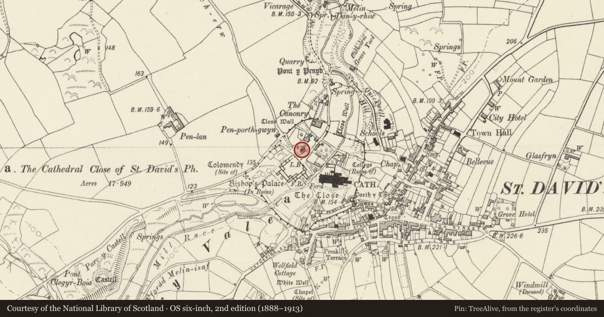
Situated at junction of land leading N from Cathedral Close, Feidr Chwech-Erw, and road leading NE towards Pont y Penyd, and SW of Brecon House.
History
House is marked on 1840 Tithe Map, a house on the site is recorded from 1332, said to have been destroyed in Civil War, but a substantial house is marked on Joseph Lord's 1720 map. R Fenton in 1811 describes a covered gateway at the entrance to the court or garden. The present house was probably built ca1830.
Exterior
Early C19. Rubble stone, probably formerly roughcast, two-storey, three-window, with slate low-pitched hipped eaves roof and C20 black brick stacks. 12-pane sashes with slate sills and rough stone voussoirs, centre 6-panel door, four panels glazed, with traceried overlight and similar stone voussoirs to head. SW side elevation clad in mid C20 cedar shingles.
Interior
Boxed-in stair, some panelled doors.
Reason for designation
Group value.
Nearby in the register
- Front & Side Garden Wall & Gatepiers to The Arch DeaconryDomesticunder 1 mi
- Coach House to The Arch DeaconryDomesticunder 1 mi
- Garden Wall between Pen-y-Ffos and the Treasurer's HouseDomesticunder 1 mi
- Treasury Gateway (formerly listed separately)Domesticunder 1 mi
Other entries of the same register within about three miles of this one, by straight line.