Cof Cymru: National Historic Assets of Wales · Wales
Small Limekiln on NW.Side of Carrog Car Park
Newport, Pembrokeshire, Wales
A Grade II listed building in Newport, Pembrokeshire, designated on 14 April 1992.
The record
- Designation
- Listed building, Grade II
- Broad class
- Industrial
- Date of designation
- 14 April 1992
- Community
- Newport
- Unitary authority
- Pembrokeshire
- Country
- Wales
- Coordinates
- 52.02086, -4.84165
- Cadw reference
- 12507
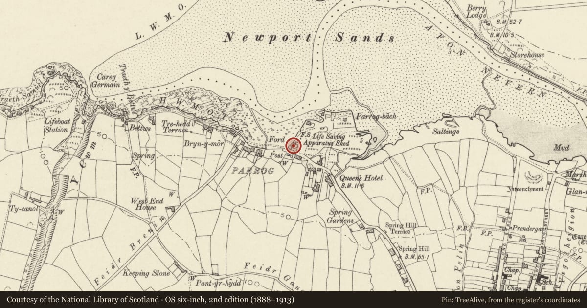
Slide toward Today to fade the historical sheet and see the modern map underneath.
David Rumsey Map Collection, Stanford LibrariesDavid Rumsey Map Collection, Stanford LibrariesDavid Rumsey Map Collection, Stanford LibrariesDavid Rumsey Map Collection, Stanford LibrariesDavid Rumsey Map Collection, Stanford Libraries
5 historical maps cover this location, the earliest the 1608 map "(13) Cambriae Typus." (David Rumsey Map Collection, Stanford Libraries).
Historical maps covering this location
- 1608 · (13) Cambriae Typus. (David Rumsey Map Collection, Stanford Libraries)
- 1891 · Sheet 10. Ordnance Survey of England and Wales. . (David Rumsey Map Collection, Stanford Libraries)
- 1898 · 210 Cardigan (Hills) (David Rumsey Map Collection, Stanford Libraries)
- 1898 · 210 Cardigan (Outline) (David Rumsey Map Collection, Stanford Libraries)
- 1901 · Sheet 13. (David Rumsey Map Collection, Stanford Libraries)
Cadw's description
Location
Situated overlooking estuary some 100m S of Boat Club.
Exterior
Probably early C19. Rubble stone and earth lime-kilns, apparently 2, one large with kiln-eyes to N and S and smaller one to W. Earth and stone ramp up between from N. High E side of main kiln with irregular stone walls angled at SE corner. Kiln-eyes are broad and pointed, one obscured behind Beach Cafe. Crucible is earth filled. Small kiln has one visible kiln eye on W side.
Reason for designation
Important landmark on estuary and relic of important former coastal trade. A large kiln was formerly attached to warehouse, now Boat Club, to N.
Nearby in the register
- Main Limekiln on NW.Side of Parrog Car ParkIndustrialunder 1 mi
- Kiln CottageDomesticunder 1 mi
- Stores adjacent to Kiln Cottage and the lime kilnNo class recordedunder 1 mi
- Telephone Call-box opposite Parrog House & SunnymeadeCommunicationsunder 1 mi
Other entries of the same register within about three miles of this one, by straight line.