Cof Cymru: National Historic Assets of Wales · Wales
Former Dovecote at Tan-y-Bwlch
Llangollen, Denbighshire, Wales
A Grade II listed building in Llangollen, Denbighshire, designated on 22 December 1989.
The record
- Designation
- Listed building, Grade II
- Broad class
- Domestic
- Date of designation
- 22 December 1989
- Community
- Llangollen
- Unitary authority
- Denbighshire
- Country
- Wales
- Coordinates
- 52.96851, -3.18059
- Cadw reference
- 1250
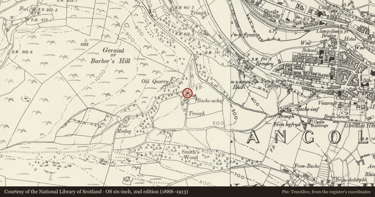
Slide toward Today to fade the historical sheet and see the modern map underneath.
David Rumsey Map Collection, Stanford LibrariesDavid Rumsey Map Collection, Stanford LibrariesDavid Rumsey Map Collection, Stanford LibrariesDavid Rumsey Map Collection, Stanford LibrariesLlyfrgell Genedlaethol Cymru – The National Library of Wales
5 historical maps cover this location, the earliest the 1795 map "To Sir Watkin Williams-Wynn Bart ... the map of the six counties of North Wales is most humbly inscribed by his obedient humble servant" (Llyfrgell Genedlaethol Cymru – The National Library of Wales).
Historical maps covering this location
- 1795 · To Sir Watkin Williams-Wynn Bart ... the map of the six counties of North Wales is most… (Llyfrgell Genedlaethol Cymru – The National Library of Wales)
- 1883 · Watershed map England, Wales 3. (David Rumsey Map Collection, Stanford Libraries)
- 1898 · 121 Wrexham (Hills) (David Rumsey Map Collection, Stanford Libraries)
- 1898 · 121 Wrexham (Outline) (David Rumsey Map Collection, Stanford Libraries)
- 1901 · Sheet 9 and 10. (David Rumsey Map Collection, Stanford Libraries)
Cadw's description
Location
Above the house to N; set in the slope.
History
Late C19, not shown on 1st edition OS Map surveyed in 1874.
Exterior
Modern conversion into accommodation. 2-storey rubble square former dovecoat with red brick quoins and window dressings. Hipped slate roof and pyramidal cap with finial over the top opening; potence visible. Camber headed doorways to S and W, the former has a small window above. Another doorway to N has been converted into a window opening; 2-light casement to E side.
Reason for designation
Included for group value with Tan y Bwlch.
Nearby in the register
- Tan-y-BwlchDomesticunder 1 mi
- TregwernDomesticunder 1 mi
- Llangollen Methodist ChurchReligious, Ritual and Funeraryunder 1 mi
- Railway Overbridge ,including ramped paths & revetments to W. of Llangollen StationTransportunder 1 mi
Other entries of the same register within about three miles of this one, by straight line.