Cof Cymru: National Historic Assets of Wales · Wales
Railway Overbridge ,including ramped paths & revetments to W. of Llangollen Station
Llangollen, Denbighshire, Wales
A Grade II listed building in Llangollen, Denbighshire, designated on 22 December 1989.
The record
- Designation
- Listed building, Grade II
- Broad class
- Transport
- Date of designation
- 22 December 1989
- Community
- Llangollen
- Unitary authority
- Denbighshire
- Country
- Wales
- Coordinates
- 52.97126, -3.17442
- Cadw reference
- 1088
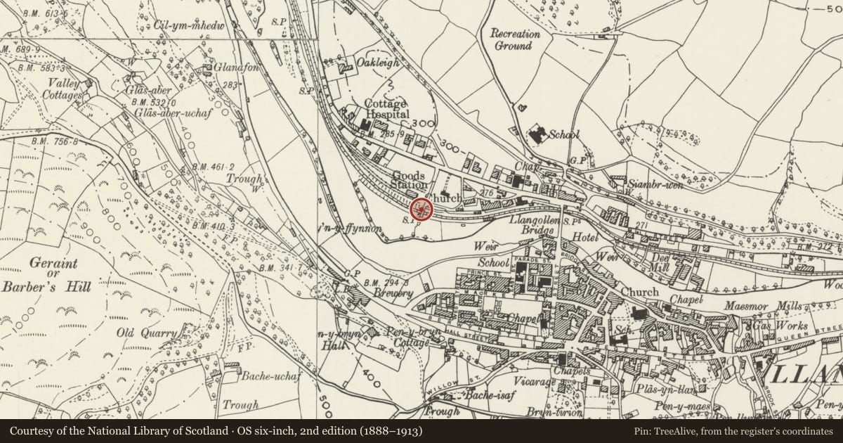
Slide toward Today to fade the historical sheet and see the modern map underneath.
David Rumsey Map Collection, Stanford LibrariesDavid Rumsey Map Collection, Stanford LibrariesDavid Rumsey Map Collection, Stanford LibrariesDavid Rumsey Map Collection, Stanford LibrariesLlyfrgell Genedlaethol Cymru – The National Library of Wales
5 historical maps cover this location, the earliest the 1795 map "To Sir Watkin Williams-Wynn Bart ... the map of the six counties of North Wales is most humbly inscribed by his obedient humble servant" (Llyfrgell Genedlaethol Cymru – The National Library of Wales).
Historical maps covering this location
- 1795 · To Sir Watkin Williams-Wynn Bart ... the map of the six counties of North Wales is most… (Llyfrgell Genedlaethol Cymru – The National Library of Wales)
- 1883 · Watershed map England, Wales 3. (David Rumsey Map Collection, Stanford Libraries)
- 1898 · 121 Wrexham (Hills) (David Rumsey Map Collection, Stanford Libraries)
- 1898 · 121 Wrexham (Outline) (David Rumsey Map Collection, Stanford Libraries)
- 1901 · Sheet 9 and 10. (David Rumsey Map Collection, Stanford Libraries)
Cadw's description
Location
Spanning the Llangollen to corwen railway line approximately 200 metres W of the station. Reached also from Green Lane along the southside of St John's Churchyard.
History
Built in 1898 contemporary with the doubling of the track as far as the Goods Yard and the construction of the excursion platforms. Both platforms were extended westwards to cater for the growing number of tourists and this bridge gave more direct access.
Exterior
Round arched red brick bridge with impost bands and voussoirs. High parapet raised at either end and terminating in gate piers.
Paths ramp downwards with battered embankment walls tapering down to E; wooden handrails. Outer embankment walls sweep down and out to form low borders to the excursion platforms.
Reason for designation
Included for group value with Llangollen Station and other related items.
Nearby in the register
- Good Shed at the Llangollen Railway Station Goods YardTransportunder 1 mi
- Green VillaDomesticunder 1 mi
- 'Up' Platform Building to W Llangollen Railway StationNo class recordedunder 1 mi
- Llangollen Methodist ChurchReligious, Ritual and Funeraryunder 1 mi
Other entries of the same register within about three miles of this one, by straight line.