Cof Cymru: National Historic Assets of Wales · Wales
Seaways Bookshop
Fishguard and Goodwick, Pembrokeshire, Wales
A Grade II listed building in Fishguard, Fishguard and Goodwick, Pembrokeshire, designated on 24 November 1978.
The record
- Designation
- Listed building, Grade II
- Broad class
- Domestic
- Date of designation
- 24 November 1978
- Locality
- Fishguard
- Town
- Fishguard
- Community
- Fishguard and Goodwick
- Unitary authority
- Pembrokeshire
- Country
- Wales
- Coordinates
- 51.99439, -4.97710
- Cadw reference
- 12379
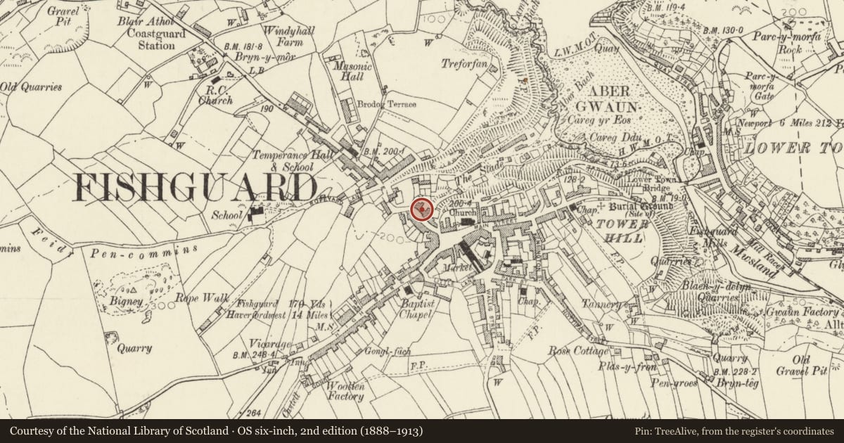
Slide toward Today to fade the historical sheet and see the modern map underneath.
David Rumsey Map Collection, Stanford LibrariesDavid Rumsey Map Collection, Stanford LibrariesDavid Rumsey Map Collection, Stanford LibrariesDavid Rumsey Map Collection, Stanford LibrariesDavid Rumsey Map Collection, Stanford Libraries
5 historical maps cover this location, the earliest the 1608 map "(13) Cambriae Typus." (David Rumsey Map Collection, Stanford Libraries).
Historical maps covering this location
- 1608 · (13) Cambriae Typus. (David Rumsey Map Collection, Stanford Libraries)
- 1891 · Sheet 10. Ordnance Survey of England and Wales. . (David Rumsey Map Collection, Stanford Libraries)
- 1898 · 210 Cardigan (Hills) (David Rumsey Map Collection, Stanford Libraries)
- 1898 · 210 Cardigan (Outline) (David Rumsey Map Collection, Stanford Libraries)
- 1901 · Sheet 13. (David Rumsey Map Collection, Stanford Libraries)
Cadw's description
Location
Situated some 80m from The Square, between Nos 12 and 14.
History
Detached house, apparently mid C19 though a building is shown on the site on 1844 tithe map.
Exterior
Detached house, rubble stone with painted stucco cladding, slate roof with stone end stacks. Two-storey, 3-window range of late C19 or earlier C20 4-pane sash windows and central doorway. Door has 2 long panels with shaped heads and overlight with lozenge-shaped tracery (similar to that on Hill House, Tower Hill and No 6 Park Street). Windows have late C19 or early C20 stucco hoods with moulded keystones and doorway has similar full surround (similar detail on No 4 Park Street). Rubble stone right end wall with loft window with brick head. Rear wing with hipped roof has long stair light with marginal glazing bars and brick head, 12-pane sash to first floor left, over 2-4-2 pane tripartite sash and small basement window.
Front low iron railings with stuccoed pier and return wall each end.
Interior
Hall with panelled elliptical arch to stair in rear wing. Staircase with stick balusters and ramped rail. Slate steps down to basement. Moulded pine ceiling joists. Panelled shutters to right front room, elliptical arch between front and rear rooms.
Reason for designation
Included as a C19 town house of late Georgian character, prominently sited.
Nearby in the register
- 14 West StreetDomesticunder 1 mi
- Halifax Building SocietyCommercialunder 1 mi
- 16 West StreetDomesticunder 1 mi
- The Old Post OfficeDomesticunder 1 mi
Other entries of the same register within about three miles of this one, by straight line.