Cof Cymru: National Historic Assets of Wales · Wales
Nevern House
Fishguard and Goodwick, Pembrokeshire, Wales
A Grade II listed building in Fishguard, Fishguard and Goodwick, Pembrokeshire, designated on 24 November 1978.
The record
- Designation
- Listed building, Grade II
- Broad class
- Domestic
- Date of designation
- 24 November 1978
- Locality
- Fishguard
- Town
- Fishguard
- Community
- Fishguard and Goodwick
- Unitary authority
- Pembrokeshire
- Country
- Wales
- Coordinates
- 51.99190, -4.97975
- Cadw reference
- 12280
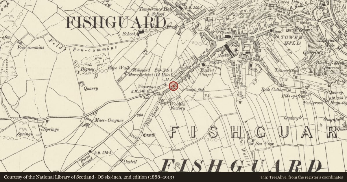
Slide toward Today to fade the historical sheet and see the modern map underneath.
David Rumsey Map Collection, Stanford LibrariesDavid Rumsey Map Collection, Stanford LibrariesDavid Rumsey Map Collection, Stanford LibrariesDavid Rumsey Map Collection, Stanford LibrariesDavid Rumsey Map Collection, Stanford Libraries
5 historical maps cover this location, the earliest the 1608 map "(13) Cambriae Typus." (David Rumsey Map Collection, Stanford Libraries).
Historical maps covering this location
- 1608 · (13) Cambriae Typus. (David Rumsey Map Collection, Stanford Libraries)
- 1891 · Sheet 10. Ordnance Survey of England and Wales. . (David Rumsey Map Collection, Stanford Libraries)
- 1898 · 210 Cardigan (Hills) (David Rumsey Map Collection, Stanford Libraries)
- 1898 · 210 Cardigan (Outline) (David Rumsey Map Collection, Stanford Libraries)
- 1901 · Sheet 13. (David Rumsey Map Collection, Stanford Libraries)
Cadw's description
Location
Terraced house set back from the street line between Nos 57 and 61.
History
Early to mid C19 terraced house, continuous roofline with No 57, but not the smaller No 61 to right. Building on this site on 1844 tithe map.
Exterior
Terraced house, colourwashed roughcast cladding, with imitation slate roof and shared, rendered end stacks. Two-storey double-fronted elevation, upper floor with 2 narrow 2-pane sash windows. Ground floor with 2-4-pane sash windows, the left window much wider and central door with long panels and overlight bearing the name of the house. Flat-roofed open porch supported by 4 turned timber columns with moulded turned caps and bases.
Forecourt fronted by short iron railings with spearhead finials and matching small gate with dog bars. Square rendered outer piers carrying rough boulders, and rendered return walls.
Reason for designation
Included as an earlier C19 terraced house with turned column porch.
Nearby in the register
- 61 High Street, including forecourt railingDomesticunder 1 mi
- Old Pump HouseDomesticunder 1 mi
- 47 High StreetDomesticunder 1 mi
- 73 High Street, including forecourt railings.Domesticunder 1 mi
Other entries of the same register within about three miles of this one, by straight line.